![]()
Day 10
|
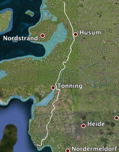
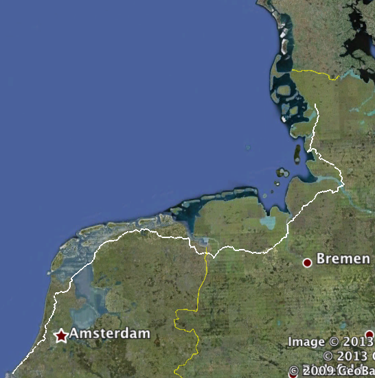
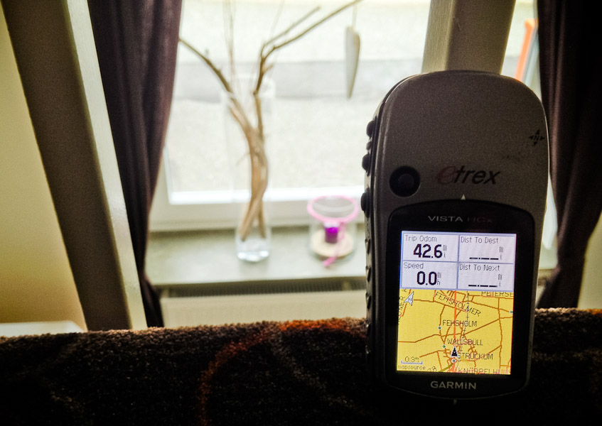
And the ride to date (494 miles): |
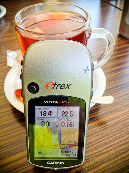
I'd checked the weather forecast the previous night and texted Eric to say I suggested we depart after 11am as it was showing rain until then. Sure enough, it was raining when we had breakfast. Finding a place to stay was again a bit of a challenge, but I finally managed to snag the last two rooms at the only place for miles that wasn't fully-booked. After yesterday's trek across fields, we decided we needed a new and improved approach to navigating. Eric suggested we try bikeroutetoaster.com, which was a site I'd also briefly played with at some stage. We put in start and end points. There is a field where you can tell it your climbing speed on hills in feet per minute, and it uses this figure to decide whether or not to route you around hills. I was tempted to enter zero, but feared it would simply tell us to turn round and head back to Holland. We put in 5 feet per minute as a way of, we hoped, telling it that we prefer not to sully ourselves with hills of any kind. It duly plotted a route for us. It appeared to be fairly straight, and claimed to have only 340 feet of elevation. This was looking promising. Step two was to get the route into our respective Garmins. Biketoaster offers two different ways of doing this: direct to the GPS, or downloading a GPX file of the route. Eric tried the former, which got him a start point, and end point and nothing between the two. I tried the latter, which appeared in Basecamp as a track. I converted it to a route, and it looked ok apart from a river crossing. Basecamp didn't like that, and once again tried to take us on a circuitous route to go around the river. I chopped the route in half, and told it to take us from our present hotel to the river, and then from the far side of the river to our destination hotel. It agreed to do so, and the route did indeed appear to replicate the website one. So far, so good. I then transferred it to the GPS and, miracle of miracles, it didn't recalculate it beyond all recognition. The mileage was the same, and visually it looked the same. Finally, on our tenth day, we seemed to have a navigation strategy that worked. Of course, there remained the small matter of actually testing the route ... The rain stopped, and I looked on wetter.de which said it would stay stopped. I decided on a final check on accuweather.com, the site I've found to be more reliable than any other. Accuweather said it was going to rain again, ending at 11am. Given its track-record, we lingered over breakfast. Sure enough, more rain arrived, which cleared up at 11am. |
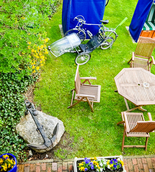
This had been the only night so far where our guesthouse or hotel hadn't been able to offer us covered parking for the bikes, but they didn't seem too unhappy in the garden. |
With good weather forecast for the rest of the day, we set off. Getting exactly 1.76 miles. |
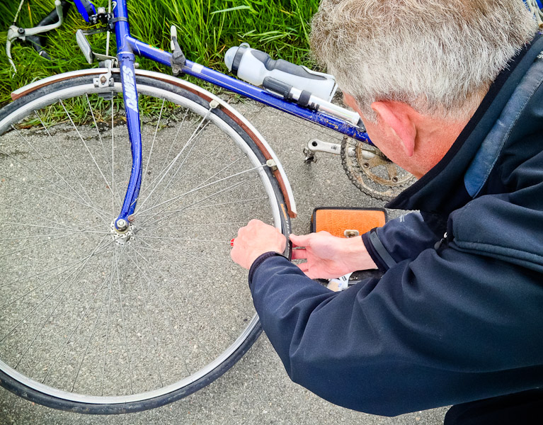
At least it wasn't the same tyre. I suggested another addition to the GPS settings: avoid punctures. We couldn't see anything on the exterior or interior of the tyre. Eventually, Eric spotted the problem. |
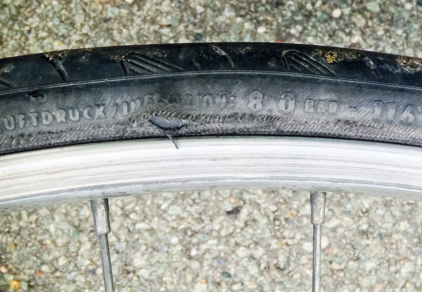
It turned out one of the front brake-blocks was set too high, and where it had worn it had created a sharp edge which had worn away the side of the tyre. This meant that not only the tube but also the tyre needed to be replaced. Fortunately, Eric carried a folding tyre as a spare. |
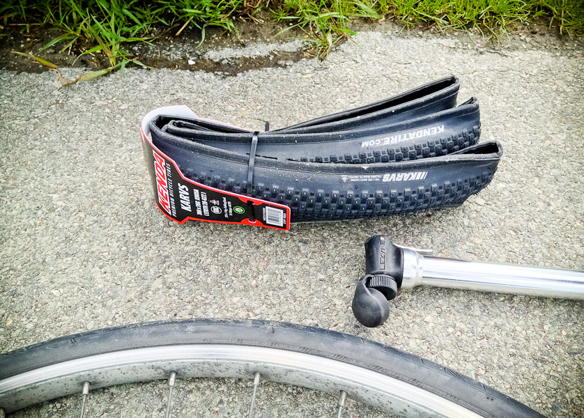
This caused some entertainment, as the instructions accompanying it were vague at best, and it didn't look very much like a tyre when unfolded. But looked rather more tyre-like when fitted. |

The weather and location were rather friendlier than yesterday. While Eric fitted his spare tube and tyre, I patched the punctured tube. It was a big tear, so I wasn't overly optimistic the repair would hold, but it survived a test inflation at least, which meant theoretically Eric still had a spare tube. Once more, we were on our way. |
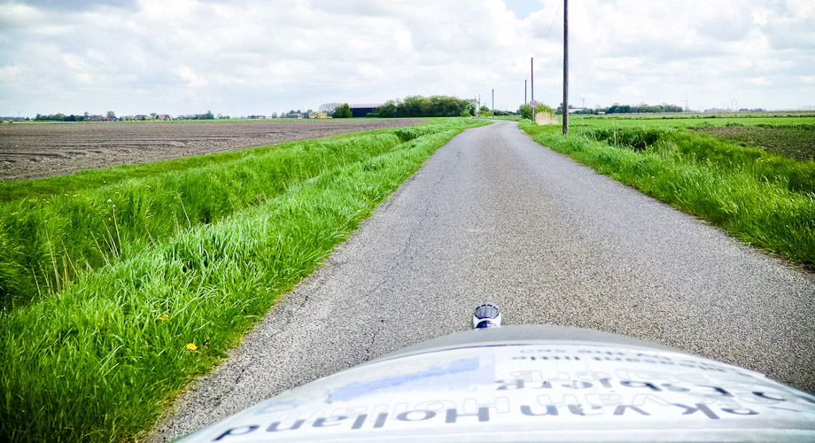
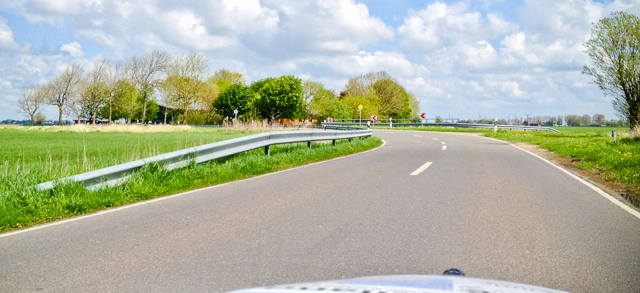
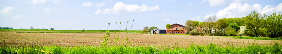
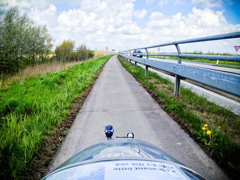
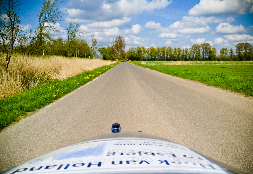
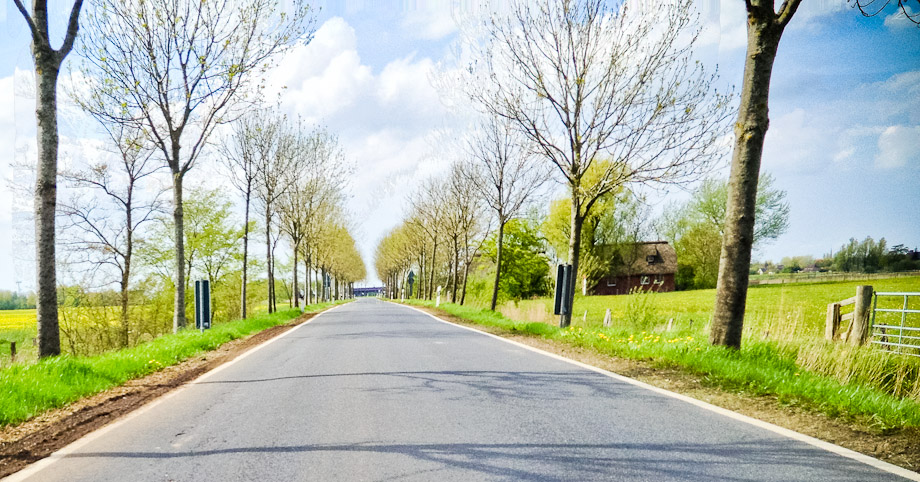
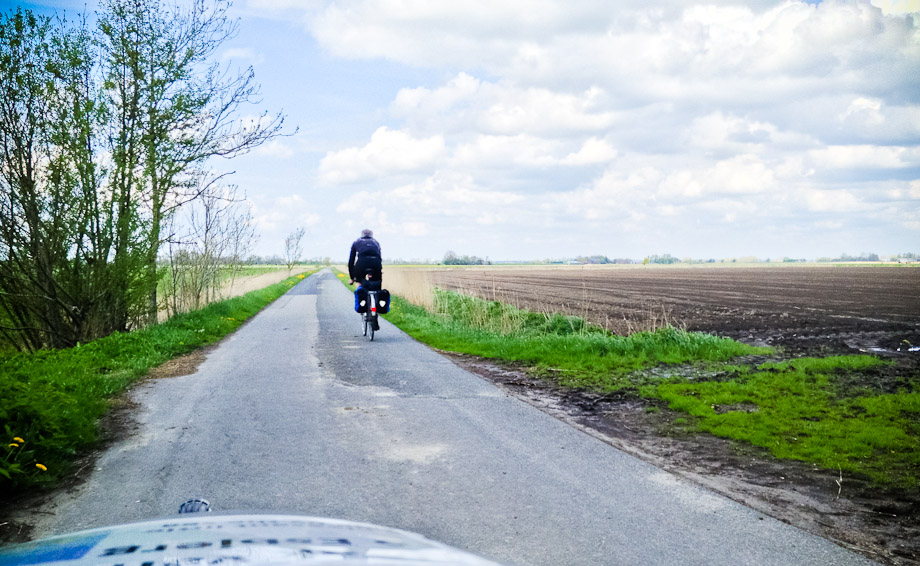
The route was a pretty rural one. |
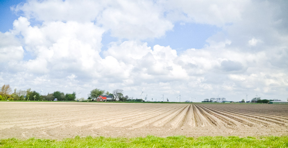
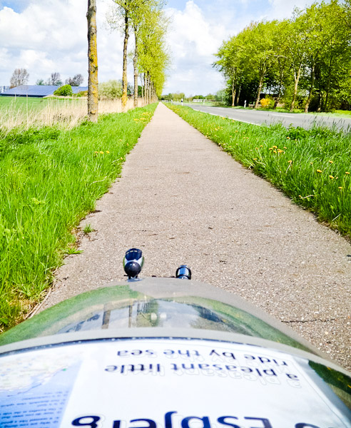
A mix of minor roads and cycle paths by slightly bigger ones. |
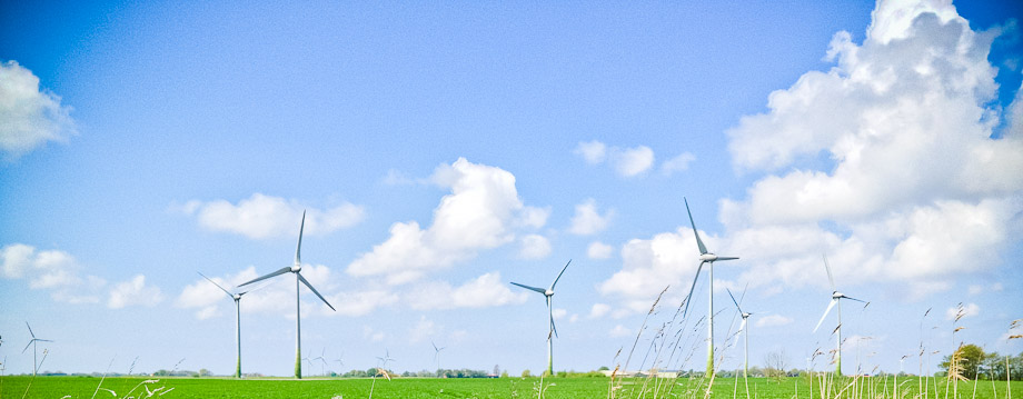
I promise this will be the last photo of wind-turbines. |
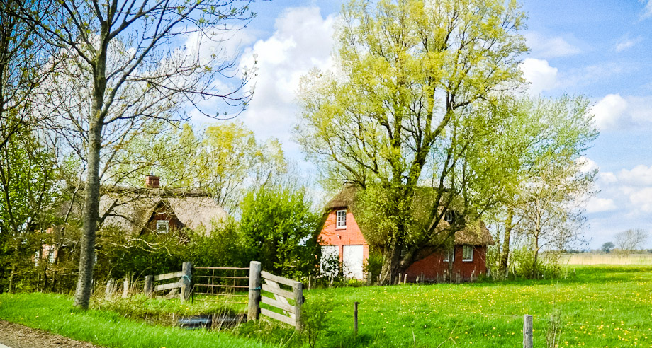
There were a few small villages en-route. |
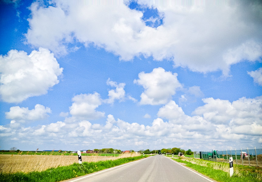
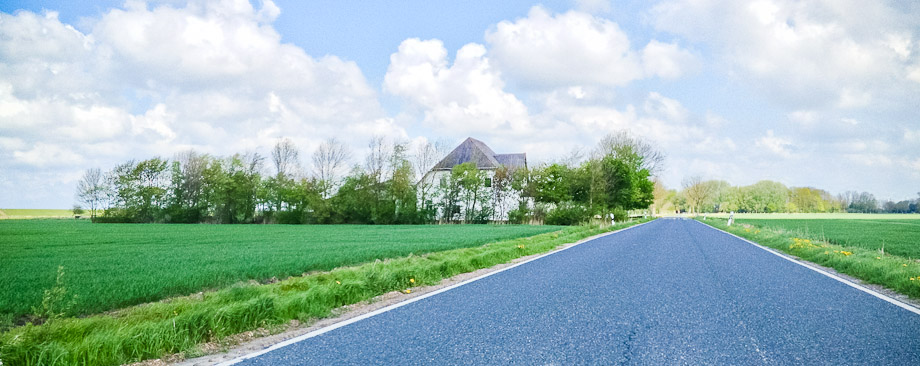
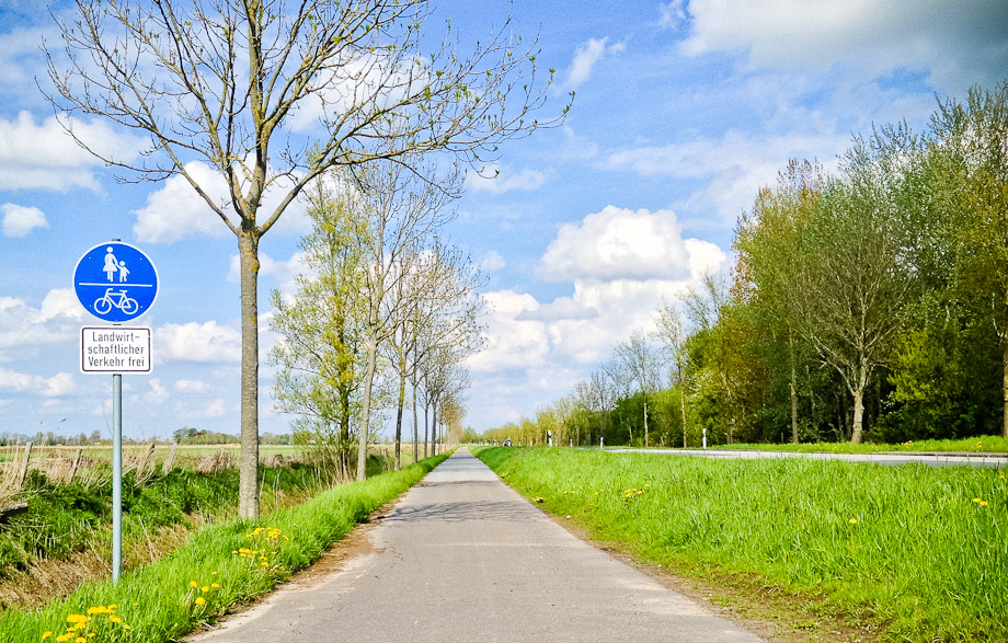
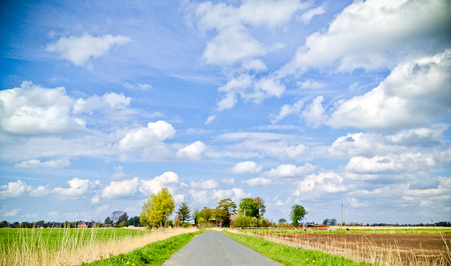
But mostly it was open road. I was pleased to see that Bikeroutetoaster wasn't fanatical about using only bike paths and was happy to use quieter roads - routes that insist on bike paths only can be rather tortuous. |
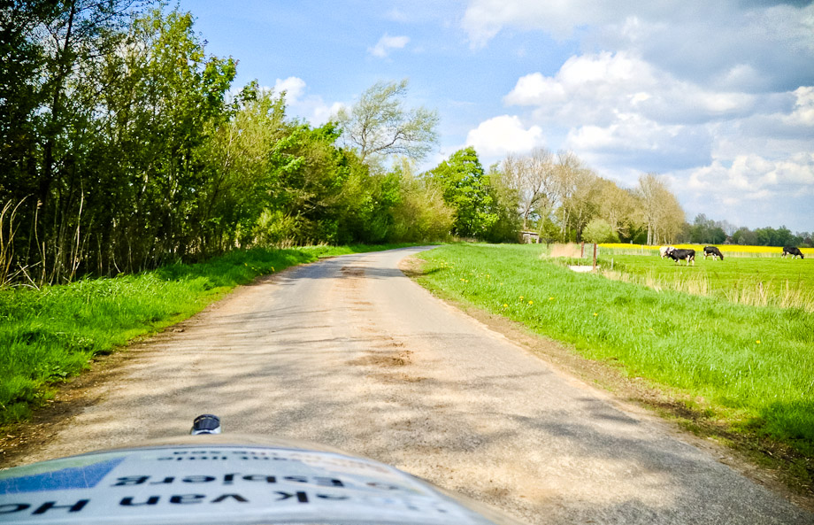
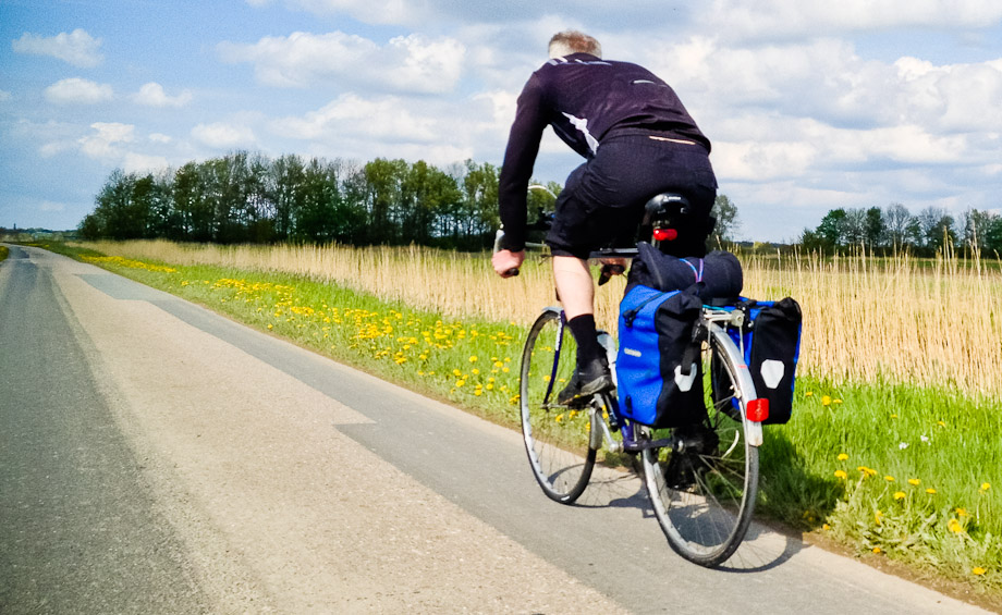
Such a contrast to yesterday! Pleasant roads, beautiful weather, delightful tailwinds - all was well with our world. |
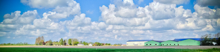
Not all of it was quite as picturesque, but it was all good cycling. |
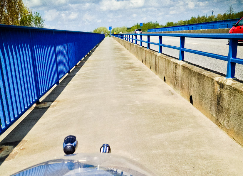
As Basecamp was refusing to cross the river, I assumed it was a ferry, as it appeared somewhat ferry-phobic. But no: it was a bridge. I took this photo merely to show to Basecamp when we got there. |
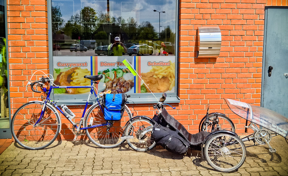
There was a tiny town on the far side of the bridge that we thought had to be a reasonable bet for lunch. Though I was a little nervous about parking my trike there. |
Cuisine pickings were somewhat slim. There was a kebab shop or ... well, there was a kebab shop. We opted for the kebab shop. |
It did at least serve tea. |
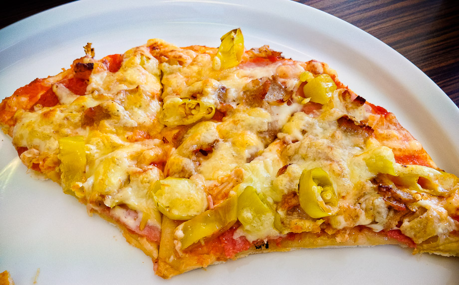
And, oddly, pizza. Though as we spotted another Doner Pizza place further down the road, perhaps it isn't odd in these parts. We had a pizza. |
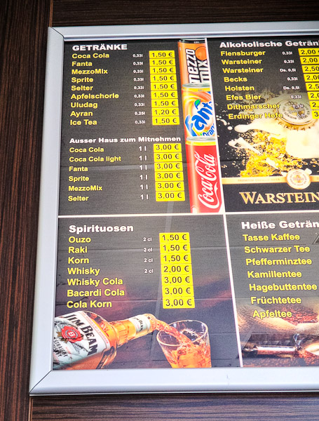
I know German petrol stations sell beer and all, but a doner kebab shop with whisky? |
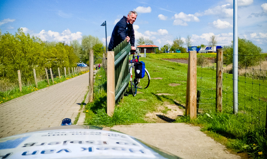
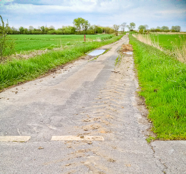
I also went into Aldi and Lidl in the hope of finding cake. Exiting the town proved non-trivial. We didn't manage to find our way back the way we came in, though this may be because someone had put a large barrier across the path we'd used 40 mins earlier. Perhaps they'd seen us arrive and didn't want any more cyclists lowering the tone of their Lidl and kebab shop. We found another way out, though this route did involve an actual field. |
There was a small restplace at the top with a picnic table, where we consumed the finest cake Aldi had to offer. |
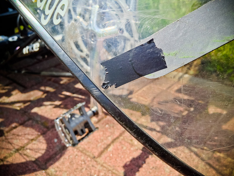
My fairing has two retro-reflective strips. The lower one had come unglued at the left side the ride before the holiday. I didn't seem to have any glue, so used some self-adhesive double-sided pads to secure it. Now, just a few hundred miles later, the other side came unglued. Fortunately, Lovejoy Engineering Solutions works worldwide. |
Back on the road. |
There isn't much to report for the next bit, so just sit back and look at the pretty pictures. |
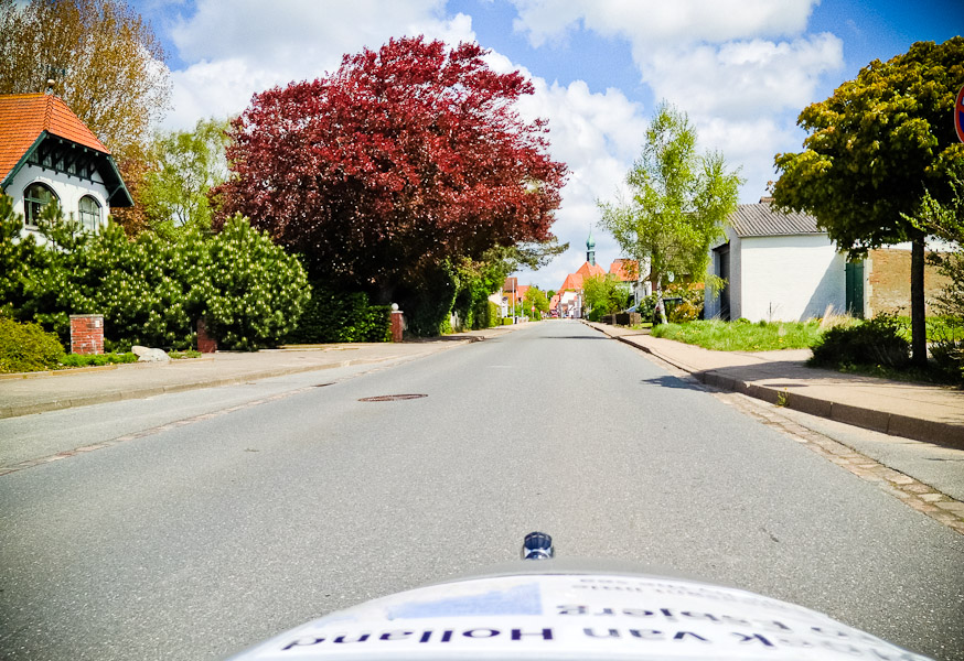
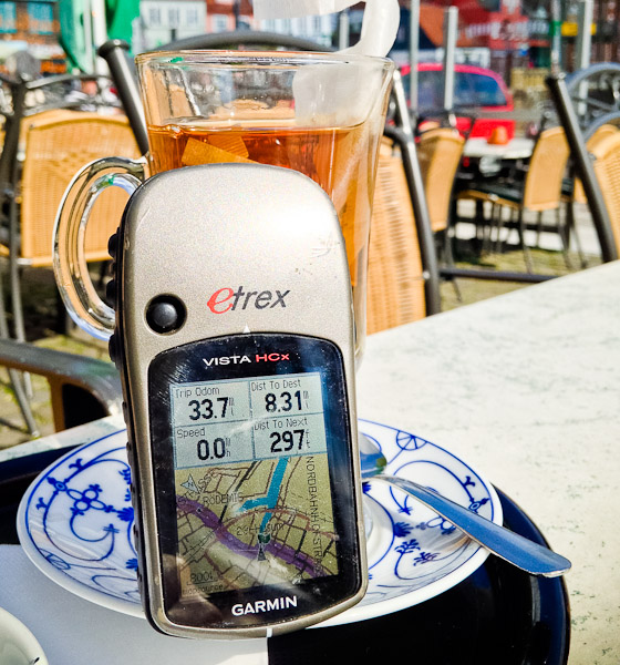
And then Husum rolled around. |
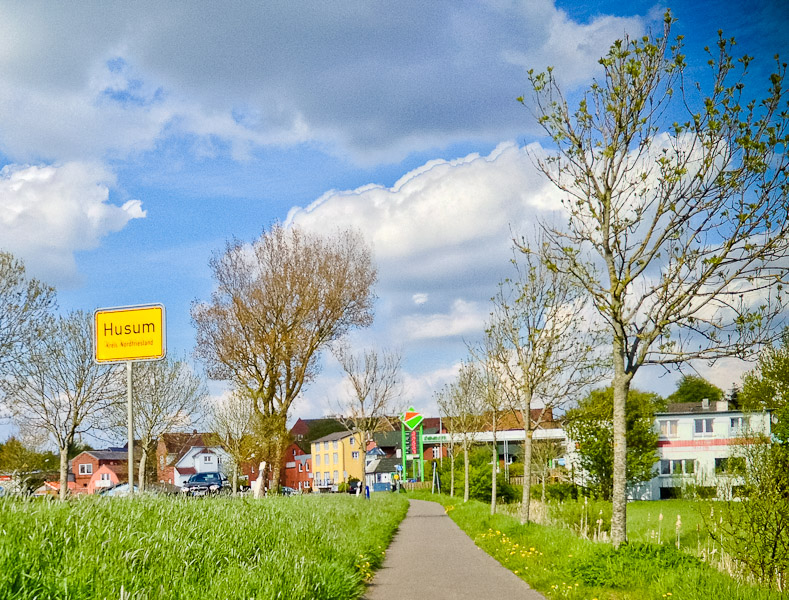
When I was planning the route, this had been my planned overnight stop for day 10. Since then, we had been anything between a few miles to a full day ahead, mostly due to the vagaries of overnight accommodation availability. Today, we were about ten miles ahead, so would be passing through. It's a strange town. My first impression was that it was quite picturesque, but then as you look around it doesn't quite gel. It's a curious mish-mash of looks. Anyway, we stopped for tea. |
The cycle paths cross roads, of course, and at traffic lights there are buttons to press to indicate you are waiting to cross. Or rather, some crossings have physical buttons, others have heat-sensitive panels you cover with your palm. |
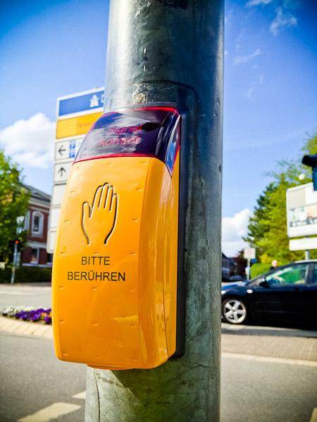
Eric apparently has lizard blood as the sensors ignored him. They worked for me. There then followed a stretch of cycle path with a surface so poor Eric commented that it was like a UK cycle path. I argued that it would need lamp-posts down the middle of it and Cyclists dismount signs at every junction. |
Our new navigation approach, which only took us most of the holiday to hit upon, was an unqualified success! Excellent roads and paths, let down only by the occasional poor surface. Hats off to the combination of Bikeroutetoaster and Basecamp. Until the final mile. The route wanted to take us down this. |
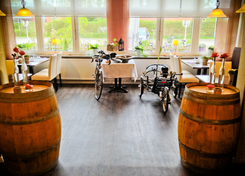
Which was both a rubbish path and, um, not where we needed to go. The hotel was actually straight down the road. Fortunately, Eric's GPS knew where it was. We had managed to achieve covered parking for our bikes at every hotel and guesthouse bar one. Garages, workshops, overhanging roof outside reception ... you name it. Last night was the only time they had to sit outside. Our hotel tonight didn't have a garage, but the receptionist went off to have a word with the manager, and a solution was found. |
And finally, I dare to write the words neither of us had dared utter before we got there: an easy day! |
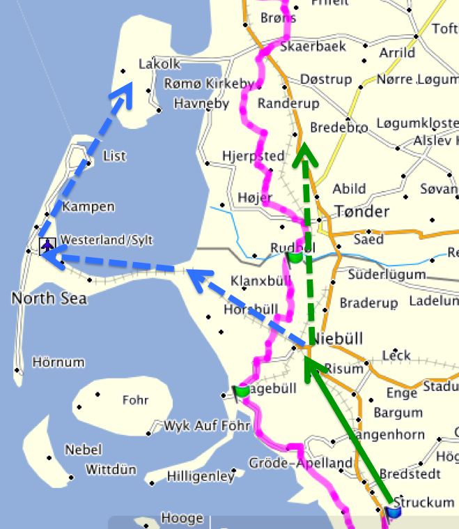
The hotel advertised evening meals, but turned out to be full with some kind of group dinner, so the manager recommended a restaurant 6km away. I reckoned cycling there would be ok, but cycling back again might not be ... so we took the manager up on her offer to book a taxi for us. The restaurant did a decent pepper steak, a ridiculous quantity of fried potatoes, a drinkable German red, an edible dessert and a cognac to round off a very enjoyable day. For day 11, we had two options. Either way, the day started by cycling to Niebüll. Option 1 was then to merely continue cycling north (the dotted green route). Option 2 was to catch a train from Niebüll to Westerfield, as the only way on to the not-quite-island of Sylt. We could then cycle on to List, and catch a ferry to the next island up. The dotted blue route. |
Eric had used a train app to investigate. All seemed fine until he requested cycle space at which point the app reported no route. Where we needed to stay the following night depended on whether or not we could get the train. But by this time we were both feeling sufficiently relaxed and/or adventurous that we were willing to ride there, find out the train situation and then find a wifi hotspot to search for accommodation in the appropriate location. This discussion was, naturally enough, held via email from our adjoining hotel rooms. And that was day ten. By the end of the day tomorrow, we expected, one way or another, to be in Denmark. :-) |
![]()