![]()
Day 2
|
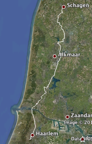
And the ride to date (93.9 miles): |
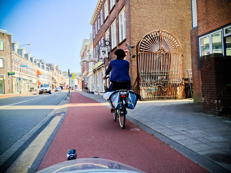
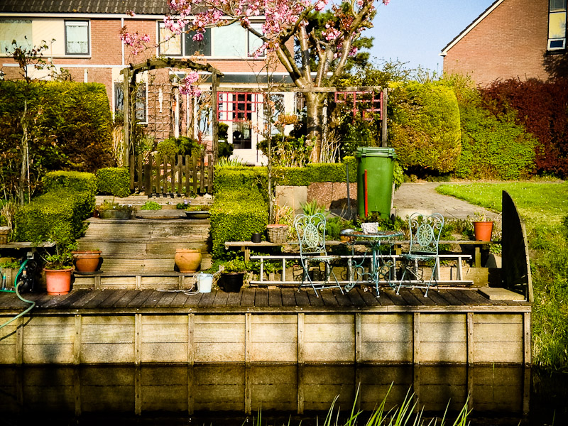
Having had very little sleep the night before, when asked what time we wanted breakfast I rapid-responsed 10am before Eric could suggest anything virtuous. My friend Esther, who unbelievably turned out to live less than a mile away, joined us for breakfast. She had of course cycled to us, and as her place was in the right direction for us, we followed her back to her amazing home. |
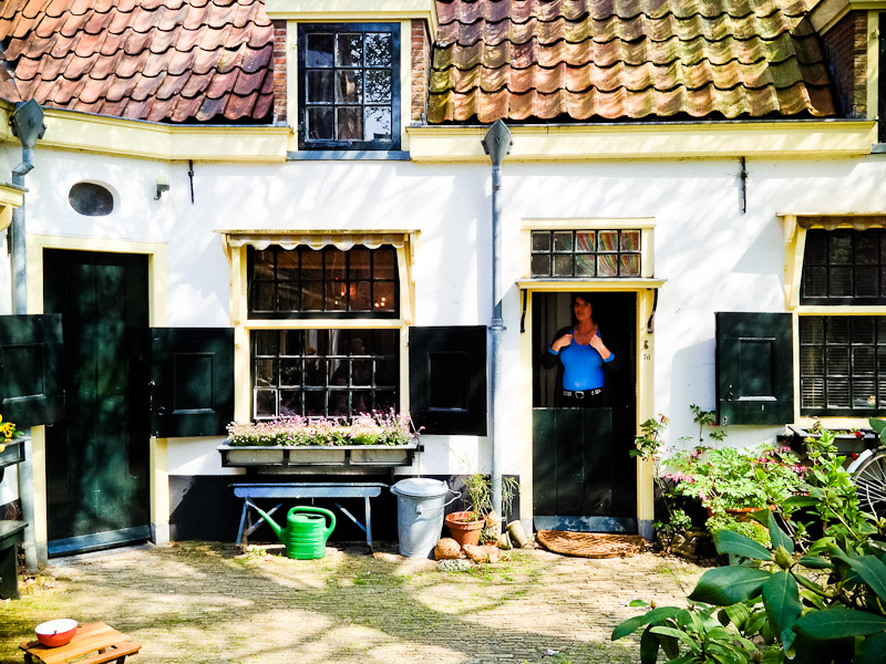
(I'm sure there's some completely innocent and reasonable explanation for the fact that she appears to be pointing at her breasts, I just can't recall what it was.) Her home is amazing. You could probably fit the entire place in my fairly modest-sized living-room, but it's just beautiful. Esther had salvaged a few things from her mother's home, and Ixies would probably appreciate this. Outside: |
Inside: |
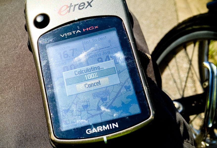
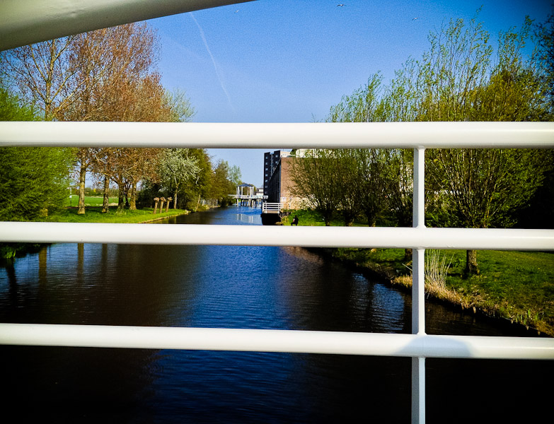
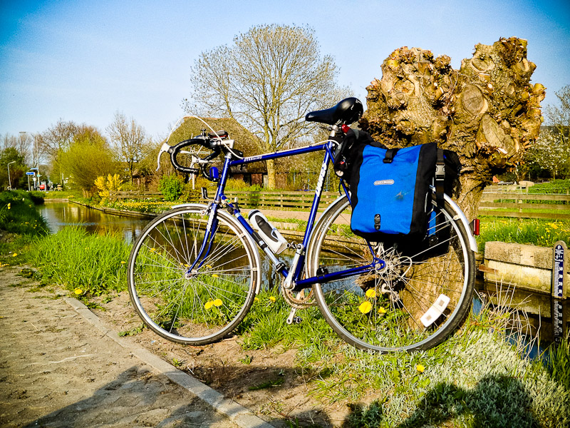
It would have been convenient that Esther was en-route had I not left my shorts behind at the B&B, so we had to cycle back for those ... I'd finessed the day's route on my MBA and then loaded it into both my and Eric's GPS. Mine had Garmin's own mapping, Eric's had Open Street Maps cycle routes, so the two sometimes had differing ideas. While Mr Garmin didn't suggest the ferry crossing at Velsen, I'd seen it on the map and thought it worth a look to cut out about four miles, and Eric's mapping suggested it. |
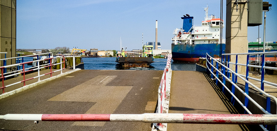
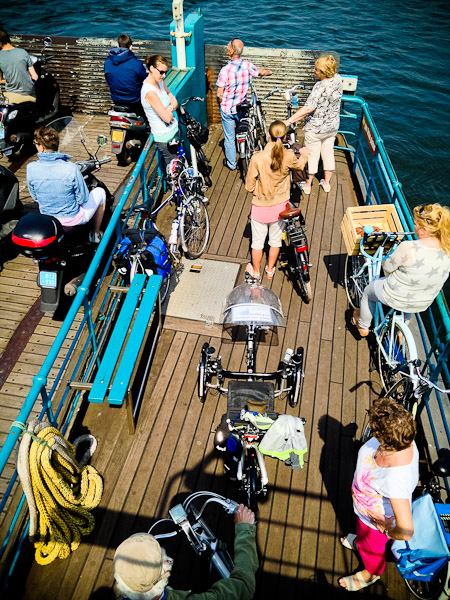
The ferry was indeed running, and was clearly popular with cyclists on what was turning out to be a very hot day. I nipped up the stairs clearly marked 'Crew only' and asked whether I could stand on the lifeboat deck to take a photo of our bikes. The crew member solemnly told me he'd have to ask the captain, who said 'Sure' and tried to open the entry gate. This wouldn't open, but I managed to climb through. |
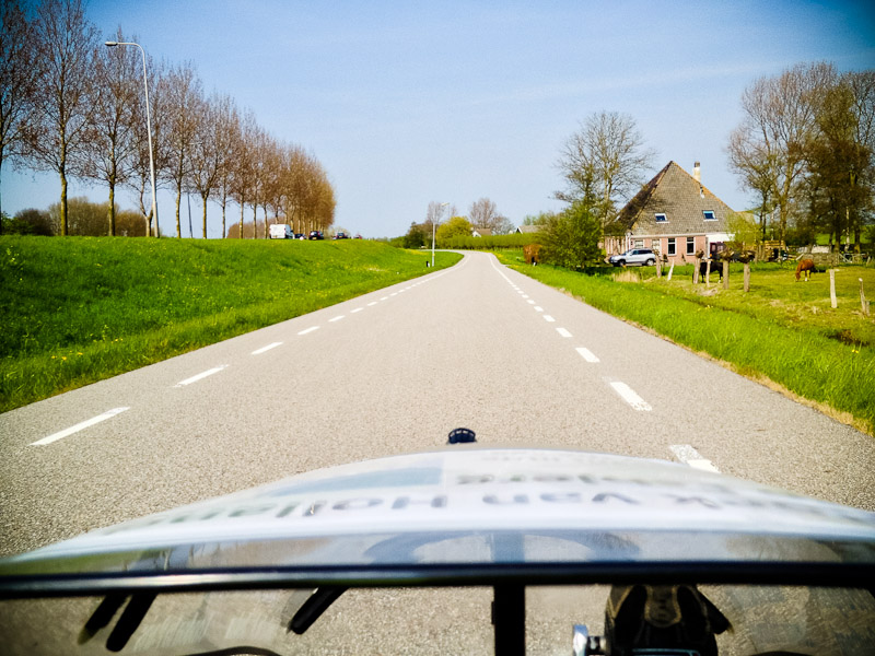
I'd tried to put in enough waypoints to show the GPS which way we wated to go. This had mixed success, so I took to zooming out enough to show a decent chunk of the route and then followed a mix of that and signs. This was thus a familiar sight: |
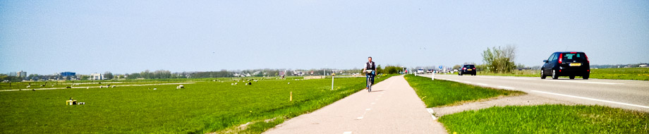
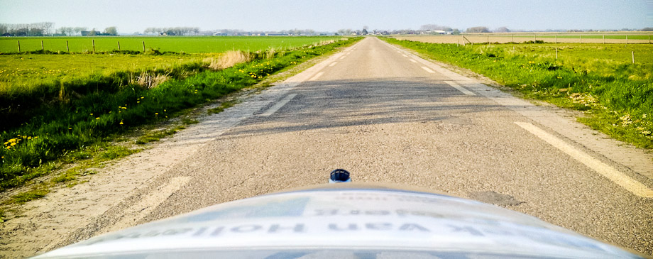
I still hadn't quite gotten the hang of mixing stills and video. I'm pretty sure I have a good system for day three. Honest. Anyway, the cycle paths were many and varied, but large chunks of them ran directly alongside roads. |
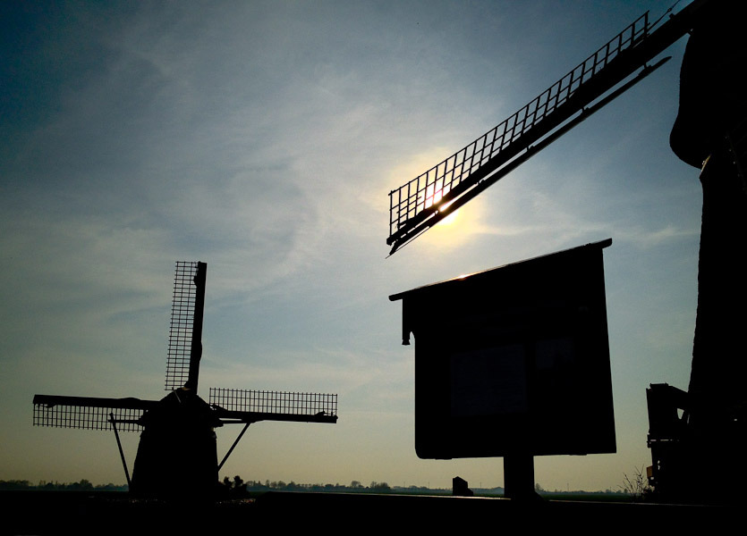
I mentioned to Eric that I was considering putting in a complaint to the Dutch tourist authorities as we hadn't passed a single windmill, when one duly appeared. Mandatory cheesy windmill shots: |
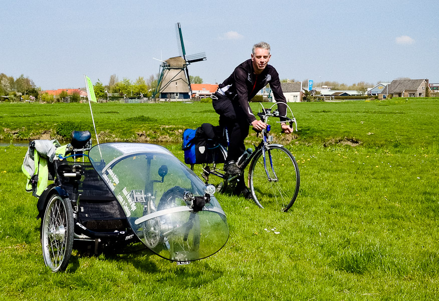
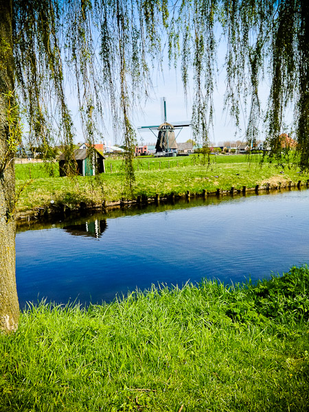
Sorry about that, these things have to be done. Next on the agenda was lunch. Unfortunately we weren't passing any major towns, and we hit 22 miles with no sign of anything resembling a bar or restaurant. Still, we did manage to find something open, and we're rufty-tufty cyclists well able to cope with adversity. As the saying has it, when the going gets tough, the tough eat ice-cream. |
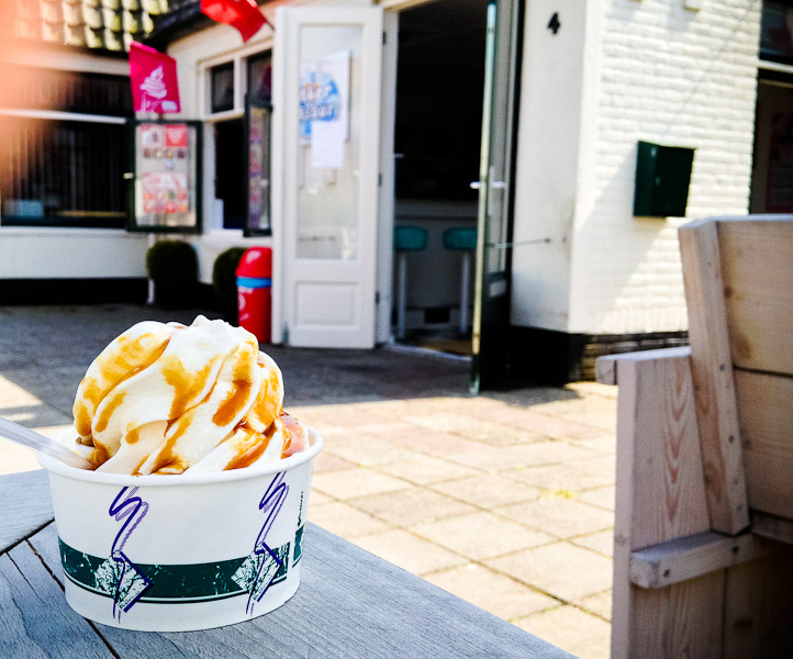
And drink Earl Grey, of course. |
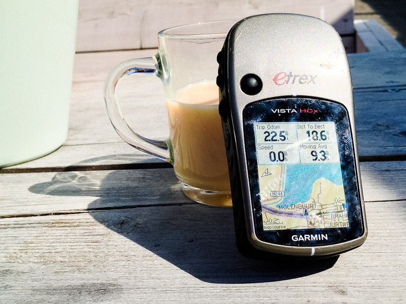
And maybe a milk-shake. I'm beginning to suspect I may have worked out why I never lose weight on cycling holidays. Suitably nutrified, we headed on. Both GPS devices still spent a lot of their time recalculating, but I had vague memories of Alkmaar being en-route and a quick peek at the laptop over lunch confirmed this, so we followed signs in that direction. |
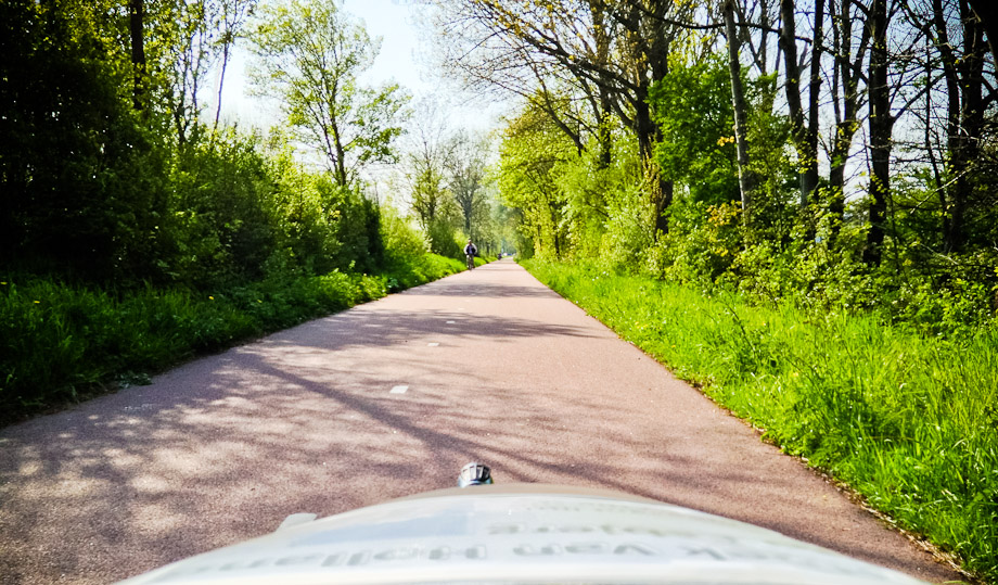
More very pleasant cycle path followed. |
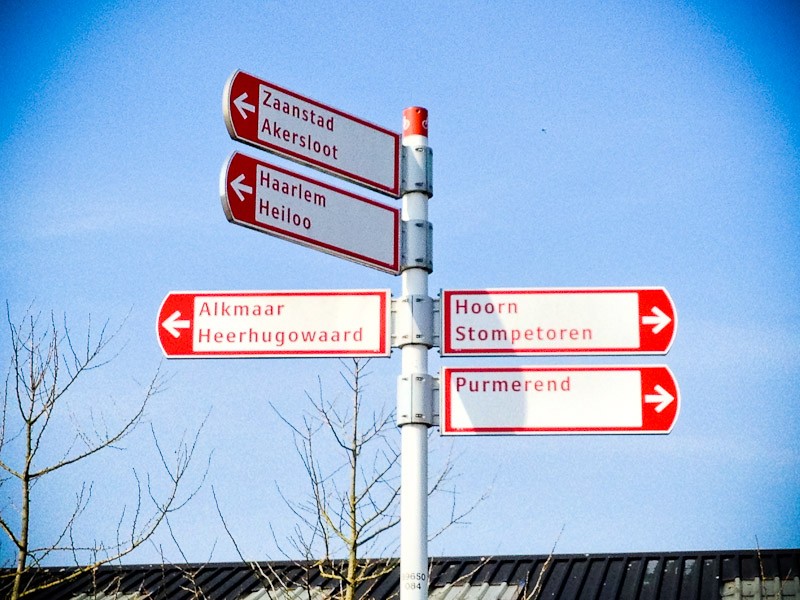
Our final destination for the day was Schagen (which, as I discovered when stopping a woman to ask for directions, is not pronounced remotely as it is spelled). We picked up cycle route signs to there and thought we were sorted. |
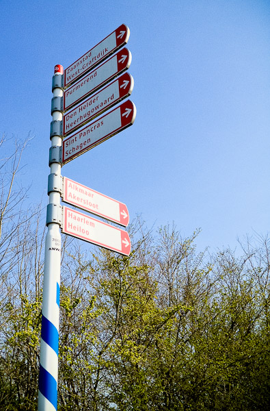
But the Dutch do like to tease: they will often show you a sign to somewhere only to have all trace of it disappear at the next junction. |
A friendly local told us Heerhugowaard was in the right direction. A few twists and turns later, we were once more headed more or less north-east. |
One Dutch trap for the unwary is ending up on the wrong side of some water. There can be stretches with no bridges at all. Fortunately, this wasn't one of them. |
There were some river-side frontages straight off a postcard. |
The GPS and cycle signs had very different ideas about how to get to Schagen. In hindsight, the GPS had the better plan. The cycle route path was very quiet and scenic (in the 'nothing to see for miles' Dutch manner), but also very open and we found ourselves spending a fair amount of time cycling directly into a stiff headwind that had been uninterrupted in its travels from the North Sea. |
As if the headwind weren't slowing us down enough, photo opps kept announcing themselves. I tried to be as restrained as possible, but no-one could resist this one, right? |
Eric's bike was looking very at home here. |
The plan had been to stop at a tourist info place en-route and ask them if they could book us into a guest-house in Schagen. No tourist info places materialised, so we opted for plan B: cycle there and ask someone on arrival. I nipped into a petrol station and was told there were a couple of places in the town square, by the church. The church was quite large, so easy enough to spot from a distance. |
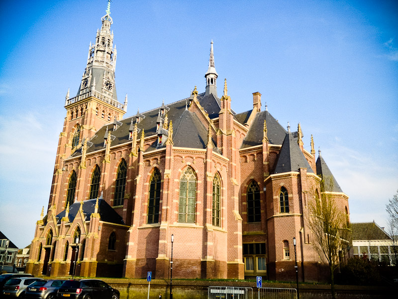
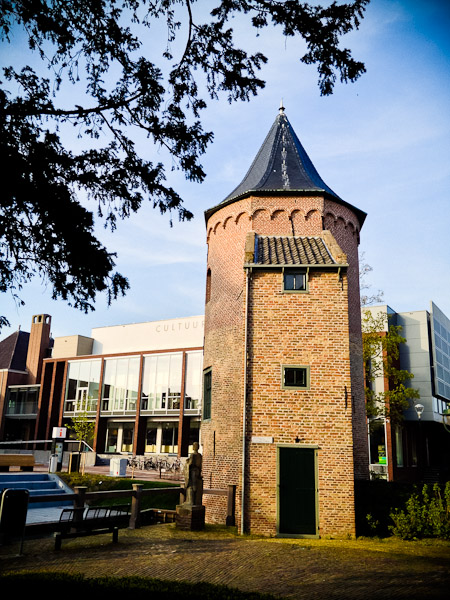
There was a Best Western hotel there. I nipped in and said that ideally we were looking for a guest-house. The receptionist denied all knowledge of any but did say she could discount two rooms from €105 each to €85 each. We decided this was close enough to our planned budget to call it good. We dumped our things in our rooms then the receptionist showed us to the secure bike-parking area, which was indeed secure. After that, a quick wander around the town. Church (you've seen that). Towers. |
That was Schagen. But the hotel had hot showers, and the square had a very nice Chinese, so what more could one ask for? So that was day two: |
We shared a bottle of surprisingly drinkable Bordeaux, and agreed on a 9-ish breakfast (I was sure to stress the 'ish' part). We also agreed that over breakfast we'd do some B&B-hunting on the web: there is a delightful sense of adventure turning up in a strange town unannounced and hoping to find accommodation on the fly, but we expected to be somewhere even smaller the next night so didn't want to push our luck too far. |
![]()