![]()
DAY 14
|
|
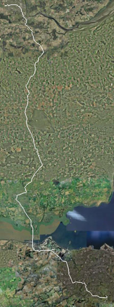
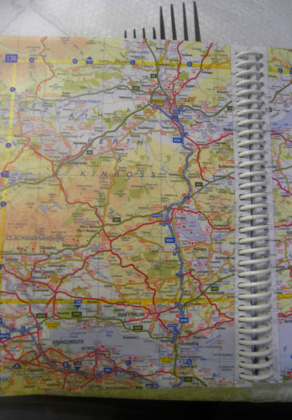
Google Earth view: |
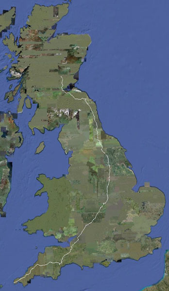
And the ride to date: |
|
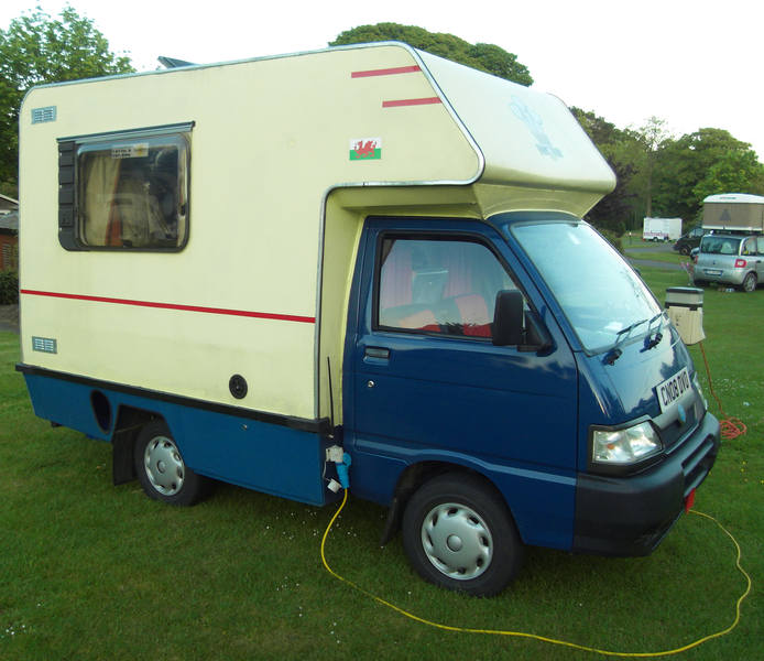
Today was a hard day. Fairly constantly up and down, and really, really hot. I ran out of water between stops (fortunately finding a friendly household to top up), and Donald drank his entire 3-litre Camelbak for the first time ever. Erica wanted to spend the entire day in - guess what - the Botanical Gardens, so wanted us out and about by 9.30am so she could move the van to the parking area. This was a somewhat scary concept, but we did in fact make it by 9.36am. We then got distracted by chats with various people, including the owner of this incredibly cute camper-van, which is apparently an old motorhome on a new chassis: |
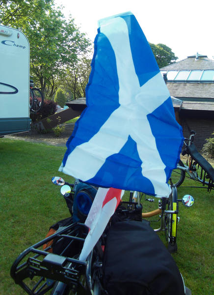
Erica had managed to find Donald a new flag, placed strategically above his existing one: |
|
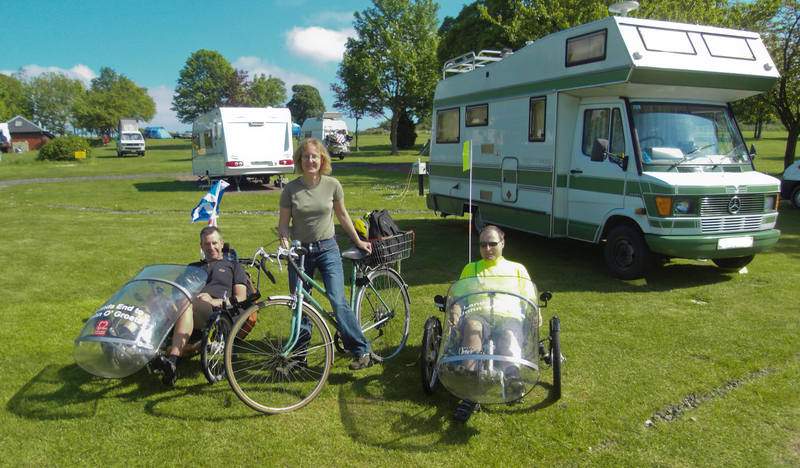
One of our temporary neighbours took the setting-off photo. Erica was cycling to the gardens, so we figured this earnt her a place in the photo. |
|
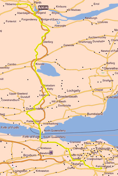
The first part of our day was to cycle round the circumference of the city to reach the Forth Road Bridge. |
|
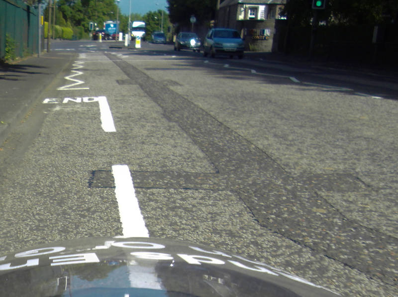
More crap cycle lanes: every time there was a pinch-point, like a traffic island (where cyclists are most at risk because drivers move in to the left), the cycle lanes ended! We are presumably expected to evapourate at these points and then rematerialise once the hazard is passed. |
|
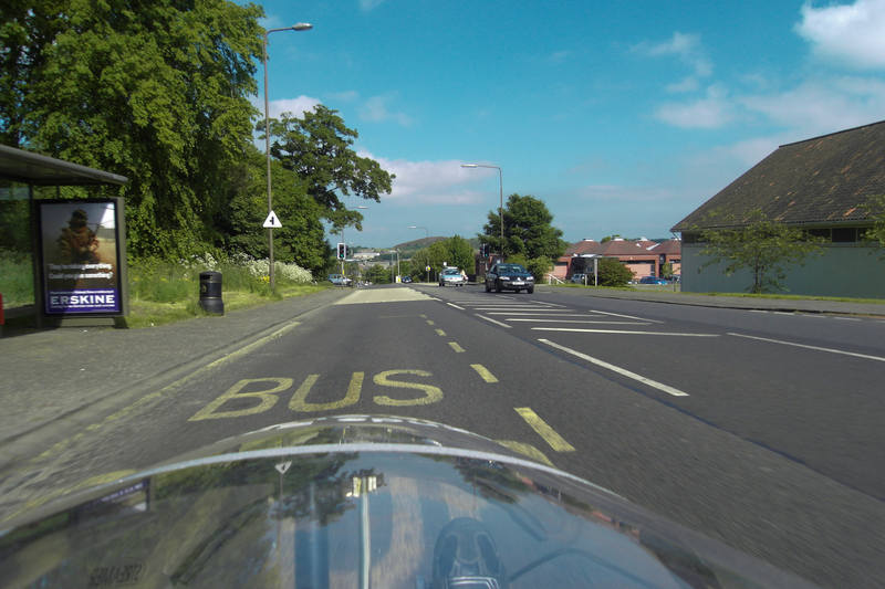
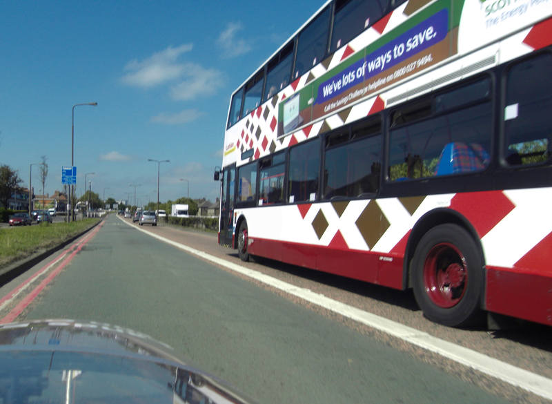
But some decent bus lanes, all the nicer when those large, smelly, noisy machines are kept out of them. |
|
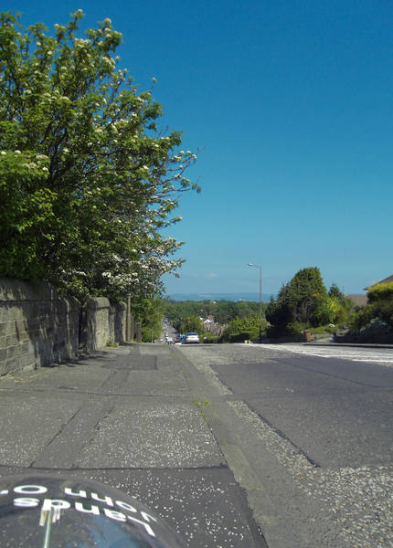
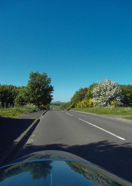
The run out of Edinburgh was mostly downhill - always a pleasant start to the day. |
|
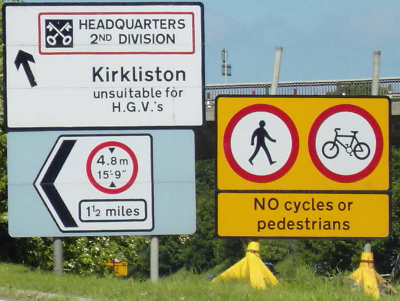
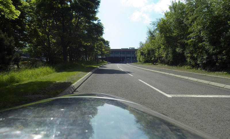
We took backroads to the A90, then joined that, heading for the Forth Road Bridge. About three miles from it, a sign instructed cyclists to come off at the next sliproad, with a large sign at the exit showing no cyclists allowed beyond that point on the A90. |
|
We obediently came off the sliproad. A single cycle sign pointed right, so we turned right. |
|
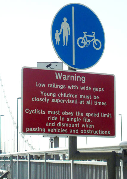
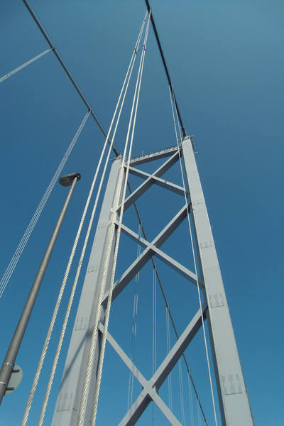
And, er, that was it. No more cycle signs, and the route ahead on this road was back the way we'd come. We looked in vain for any 'Alternative route' signs to the Forth Bridge, but there were none. This was absurd. We asked the GPS for a cycle route, and it suggested we get back onto the A90. An, er, solution was found. And the bridge was reached. We arrived at the start of the western cycle path, which was closed. We'd heard tales of having to carry bikes down and up loads of steps, which is wildly impractical with loaded trikes. Fortunately I'd had the foresight to look up the Forth Bridge phone number the previous evening, so I phoned the control centre. A very helpful chap directed us down a slip-road, under the bridge and up another one. All very simple. |
|
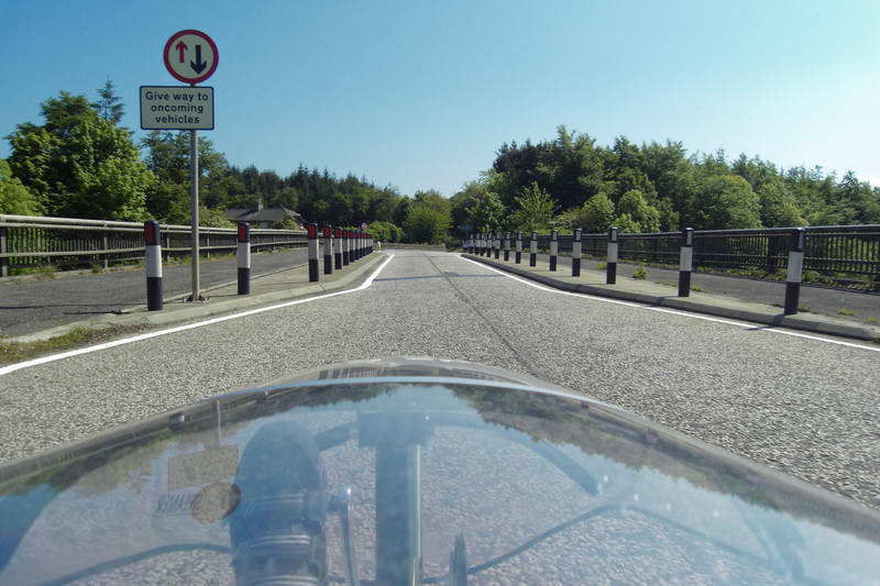
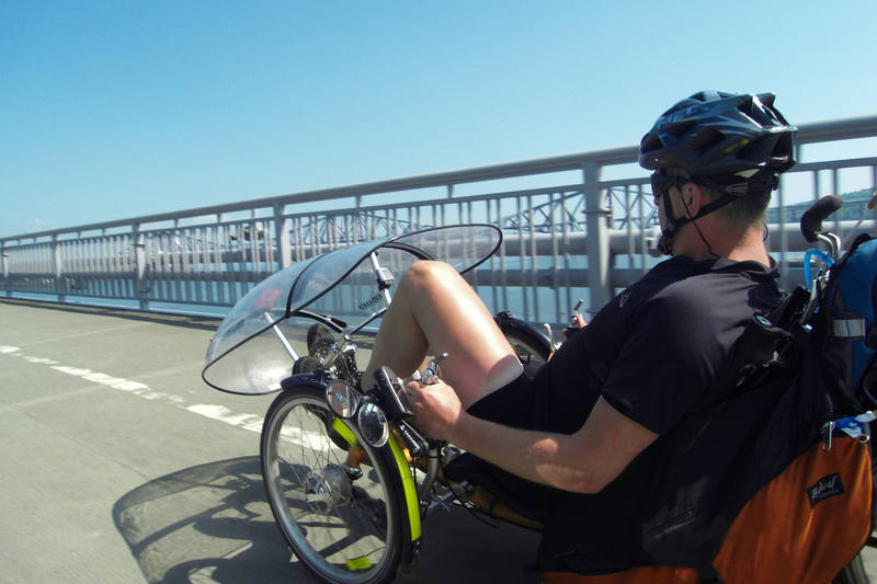
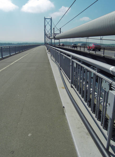
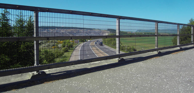
And there we were on the Eastern cycle path: |
|
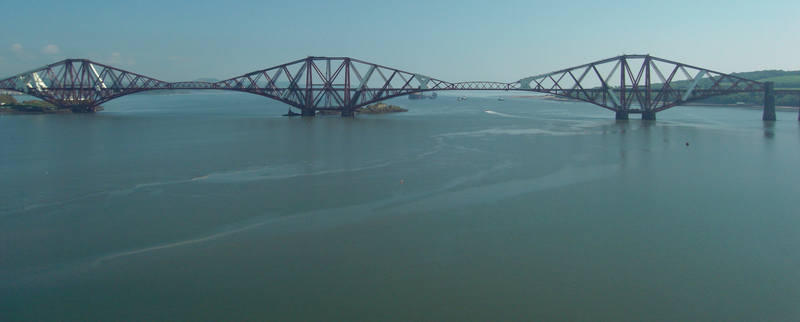
With a view across to the Forth Railway Bridge. |
|
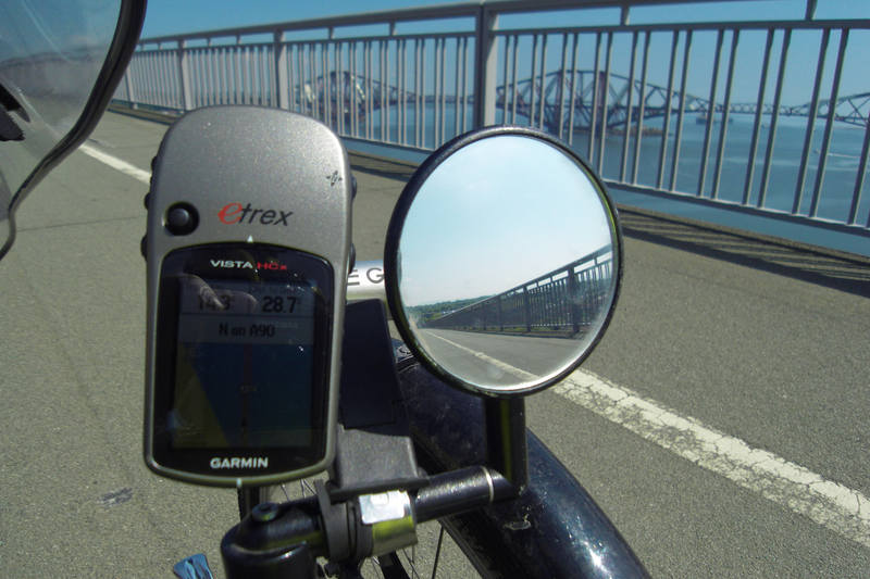
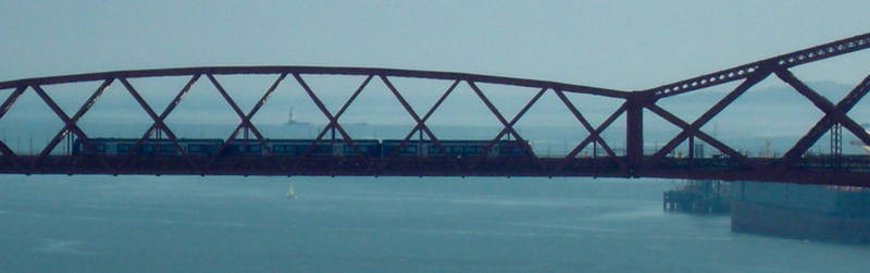
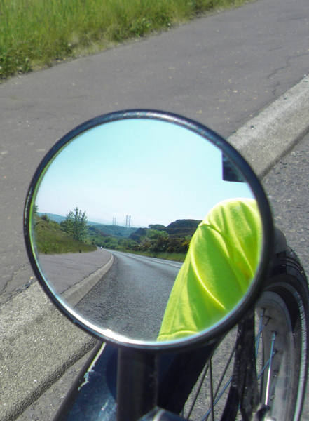
Just to put the scale into perspective, here's a close-up of a train on one of the two small spans between the three main ones: |
|
The bridge was very impressive, but definitely not recommended for anyone with vertigo: it's very high, very exposed and shakes an unbelieveable amount every time a lorry passes by. And just to add to the fun, they've recently had some cables parting company and are in the process of replacing 1,888 bolts. |
Looking back onto the south side: |
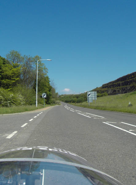
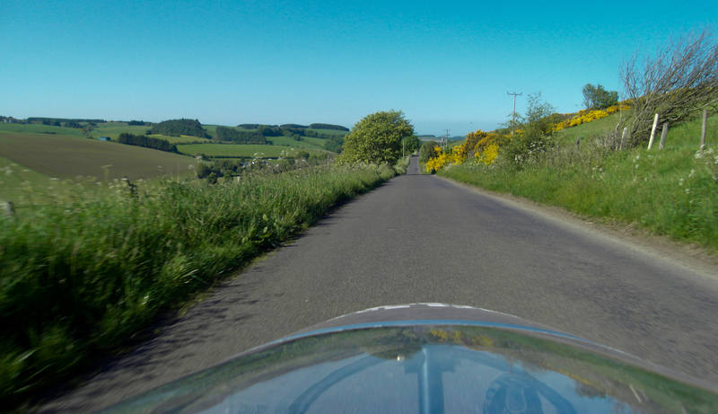
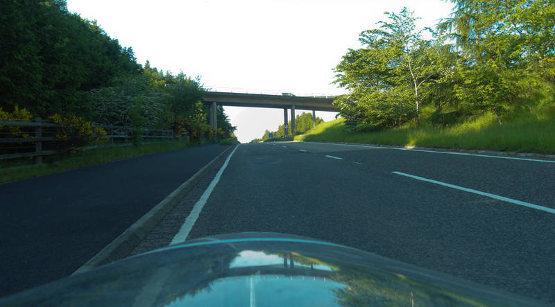
The far side of the bridge caused some slight navigational uncertainty, but we then found ourselves paralleling the M90 |
The road surface was again poor, and more of those stupid ribs on the approach to 30 zones that may wake-up dozy drivers but pose a real hazard to cyclists. |
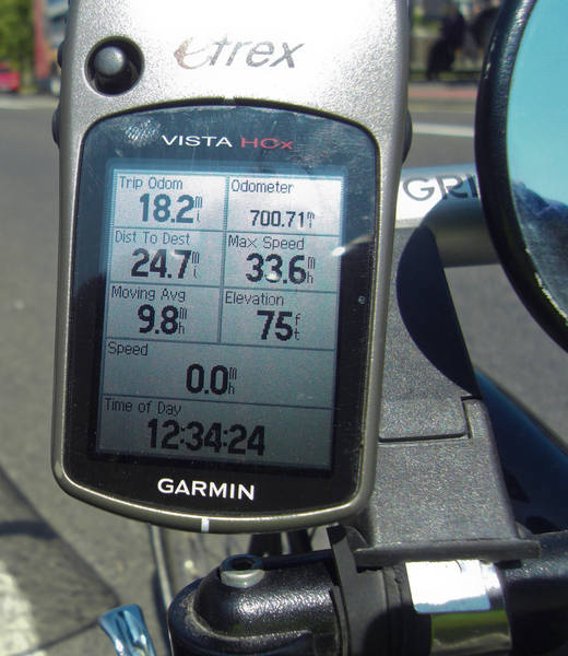
700 miles ticked over: |
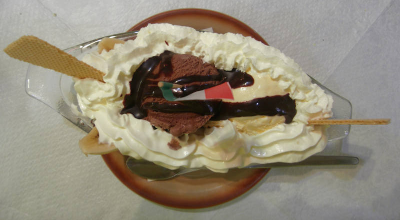
At exactly 20 miles, in Dumfernline, I spotted a likely-looking spot for lunch. |
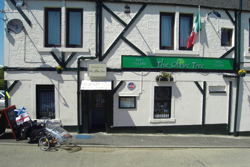
It proved an excellent choice: great food, including banana split for pudding! |
And when the owners heard what we were doing, they told us lunch was on the house. :-) The reason we were in Dumfernline was that our original route took us out west to Gleneagles then back east to Perth, to avoid the hilly direct route criss-crossing the M90. We decided shorter and hillier might be preferable, so switched to that. |
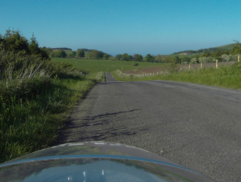
We did indeed see the M90 quite often as the back roads switched from one side to the other. |
It was, though, hilly! Entering Kelty, and changing to the inner chain-ring at the front, the chain slipped off and jammed on the inside of the ring. Extracting it took some time (read: took Donald some time while my contribution to matters was buying handwipes and taking photos). |
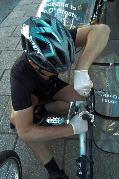
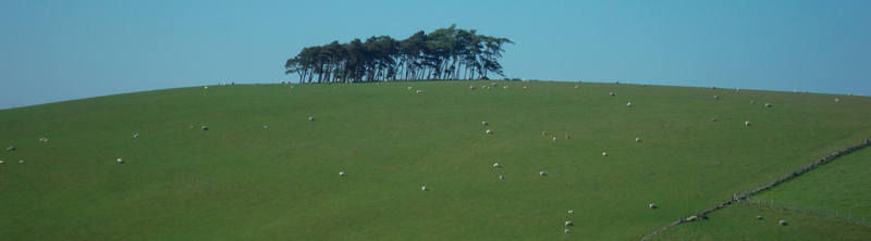
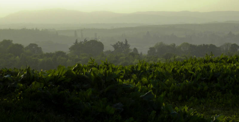
The job was eventually done and we were once again on our way. It was an exceedingly hot day, and the hills were hard. Fortunately, there were some reminders why we were doing this. |
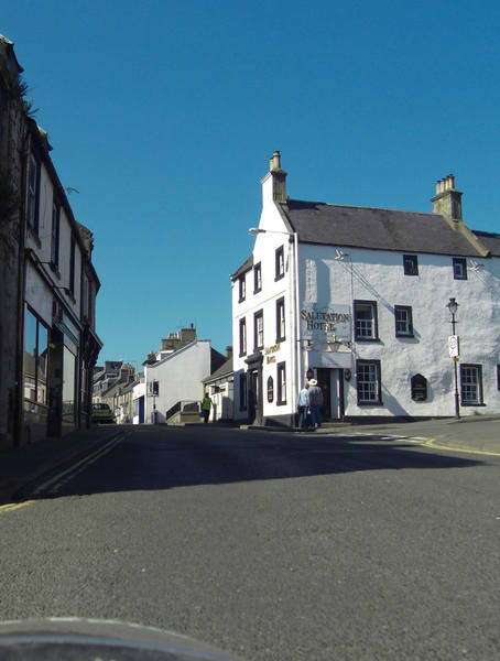
We'd stopped at the Salutation Inn in Northumberland, and now stopped for an orange juice at the Salutation Hotel in ... um ... somewhere hot and hilly. |
Bastard hills. |
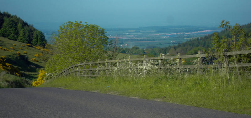
But some of them did run in the correct direction. |
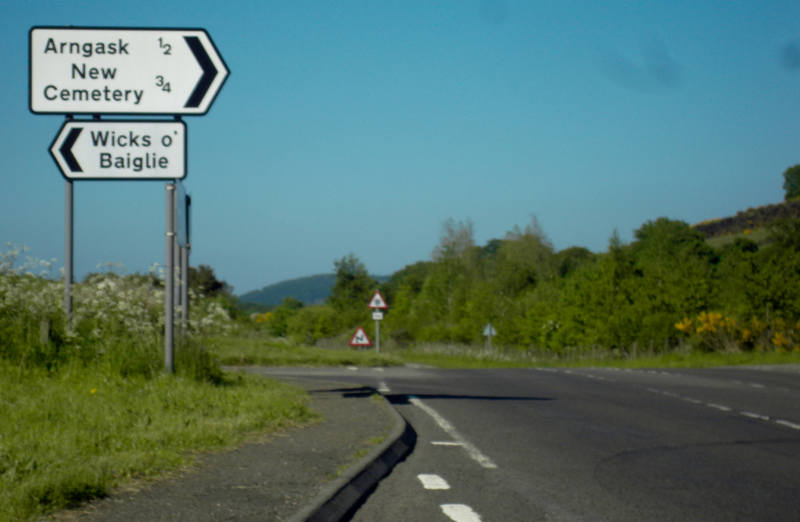
On that one, we encountered a woman with four kids on ponies. Horses are often wary of the trikes, seeing low-down fast-moving things as predators, so we came to a stop. The original plan was to walk them back behind us, but the most nervous one wasn't having any of that, so the kids led them into a field, so we could pass. While waiting for this, the woman said that quite a lot of cyclists take this route as it looks direct, but they didn't realise how hilly it was. We said nothing. More great place names: |
No need for polythene covers on a day like today! |

The baqckroads eventually joined the top of the M90 just as it turned back into the A90. |
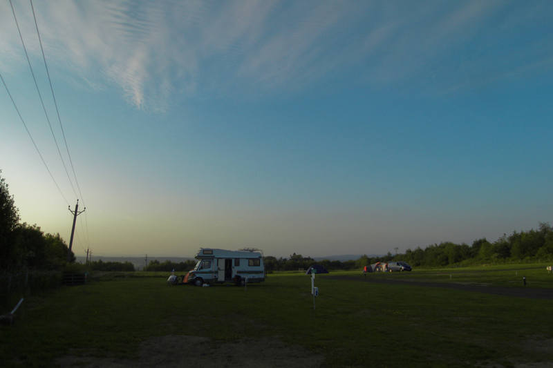
The campsite was, of course, up a mile-long hill: |
The campsite was also not where its postcode claimed it was, a fact the campsite helpfully points out once you have arrived: |
Fortunately I'd phoned earlier for exact directions. With lots of kids activities on site, it's not somewhere you'd want to stay on a busy weekend, where it would undoubtedly be infested by noisy creatures, but on a weekday evening it was quite lovely. |
And that was day 14. |
|
![]()