![]()
DAY 6
|
|
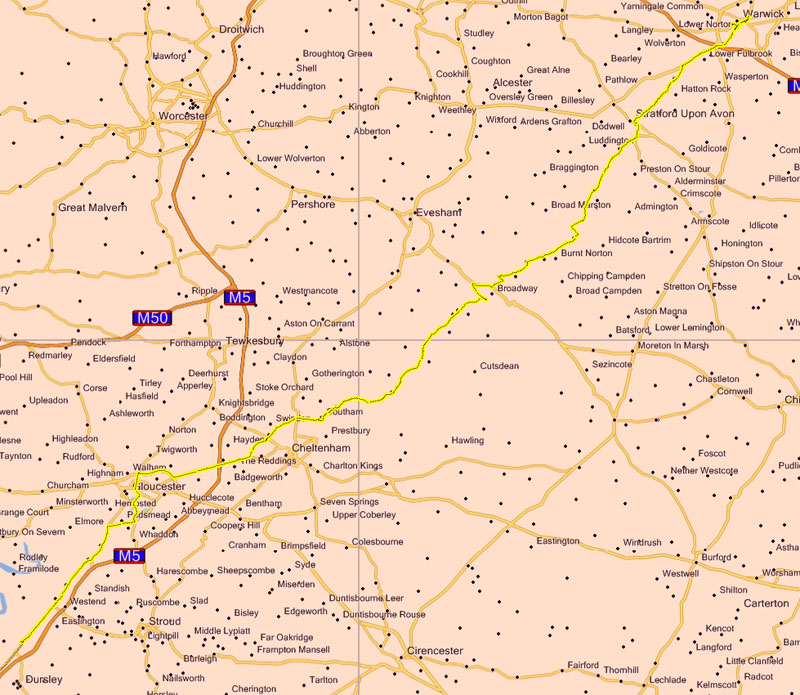
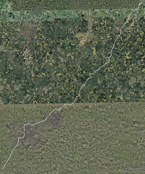
Google Earth view: |
And the ride to date: |

|
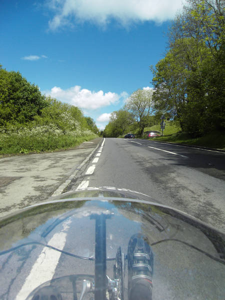
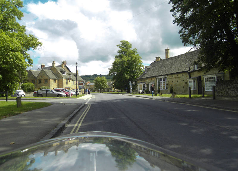
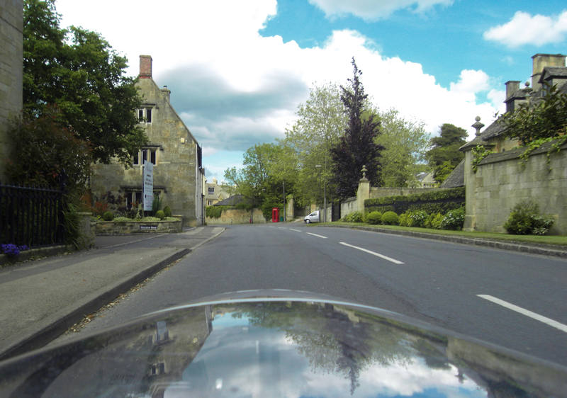
A good day's cycling today. 65 miles, and could have actually gone further, but Erica was staying with a friend in Warwick. Our moving average was 11.1mph. Erica's threatened early start did indeed materialise, with kettles and movement sometime around 7.30am. There is, however, no such thing as a rapid start in a motorhome. Showering in a shower-block is always a faff (especially when a bathroom is inexplicably mirrorless); there's the shifting around of things that need to be in one place when it's a home and in different places when it's a vehicle; there's the deconstruction of Donald's tent and stowing of the various bits of tent, bedding, etc, in different places; routines like emptying rubbish and refilling water supplies; and there's three people all eating different breakfasts. There was an extra delay this morning as Donald couldn't find his GPS. He still couldn't, but we were confident it would turn up, so we set off with just mine. So it was about 9.30am by the time we actually set off. This was, however, still considerably earlier than our usual leisurely departure time. The weather was good: |
|
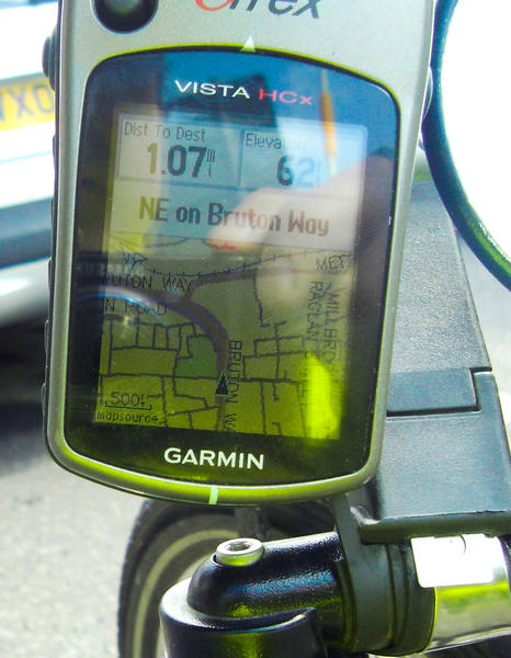
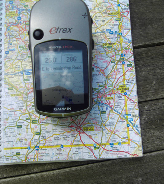
The GPS was still doing very strange things with routing, wanting to do major detours for no apparent reason. I tried asking it to route to towns along the way, and it was still inventing pointless loops. We hadn't passed anywhere to buy a paper map, so I was resorting to shorter and shorter distances along our route to persuade the GPS to take us there in a straight line. |
|
Our first major waypoint was Gloucester. |
|
After that, we opted for a bit of the A40 to get us on our way to Cheltenham. |
|
We figured some local knowledge would be helpful, so stopped to ask a couple of lorry drivers for directions. Two of them gave us completely different sets of directions, both of the mega-detailed sort: "You take third left at the second roundabout to the industrial estate by the traffic lights next to the carpet warehouse, then ..." well, actually, that's about as much as I remembered. We continued on by the simple expedient of following roadsigns to the major places along our route. This may not have given us the nicest roads, but did get us on our way. We did 19 miles without passing a petrol-station! So we were still without a road atlas, but did find a likely-looking cafe stop. |
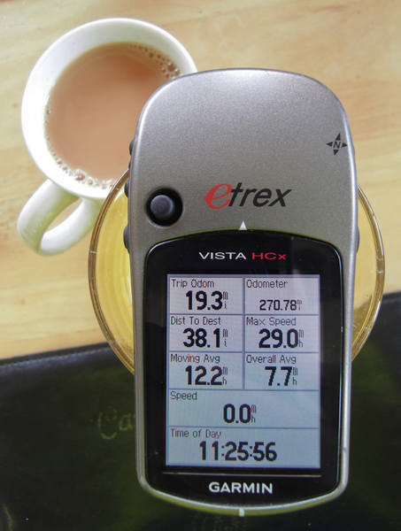
|
19.3 miles with a moving average of 12.2 miles - not bad. (The overall average isn't useful as I keep forgetting to reset the trip recorder just before we leave, tending to do it either the night before or before breakfast.) |
|
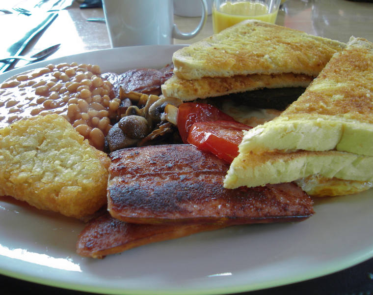
We both went for the full English breakfast, which was vast. |
|
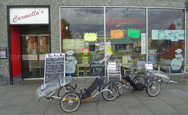
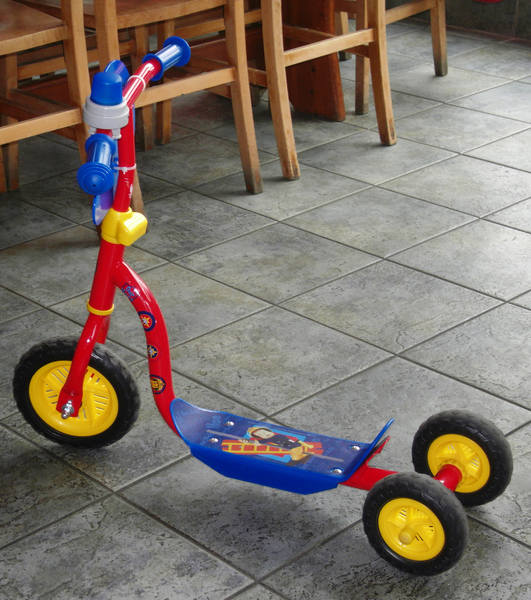
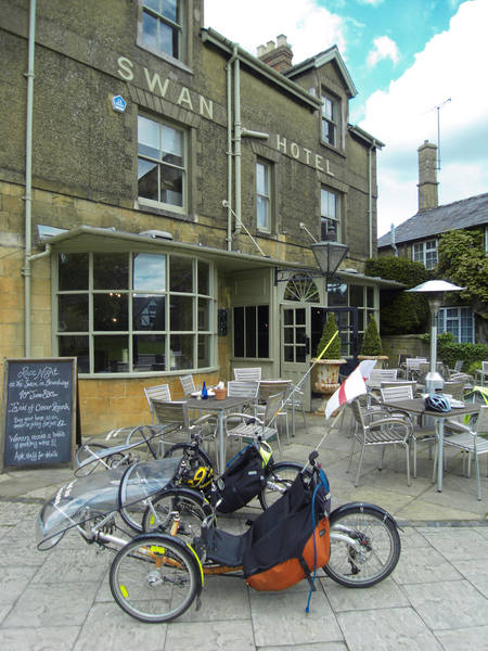
There was also another trike at the cafe: |
|
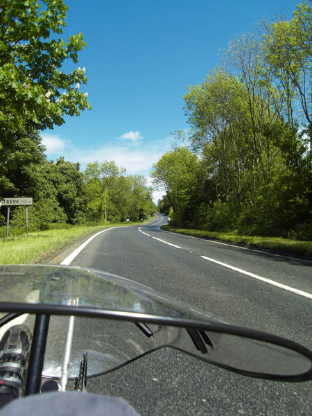
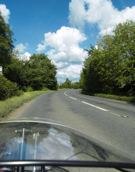
Suitably replenished, we set off onto nicer roads: |
|
We finally managed to pick up a road atlas from a petrol station, and we plotted a route, using the GPS only to navigate between points picked from the map. In doing this, we managed to plot a route that took us up the only bloody hill for miles. |
|
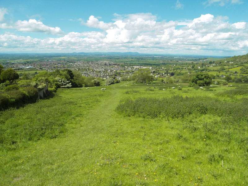
The damn thing went on forever - it was like being back in Cornwall: |
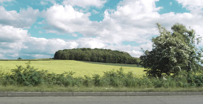
Once we reached the top, we could see just how much flat ground surrounded the hill: |
|
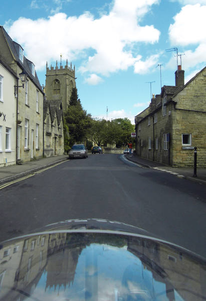
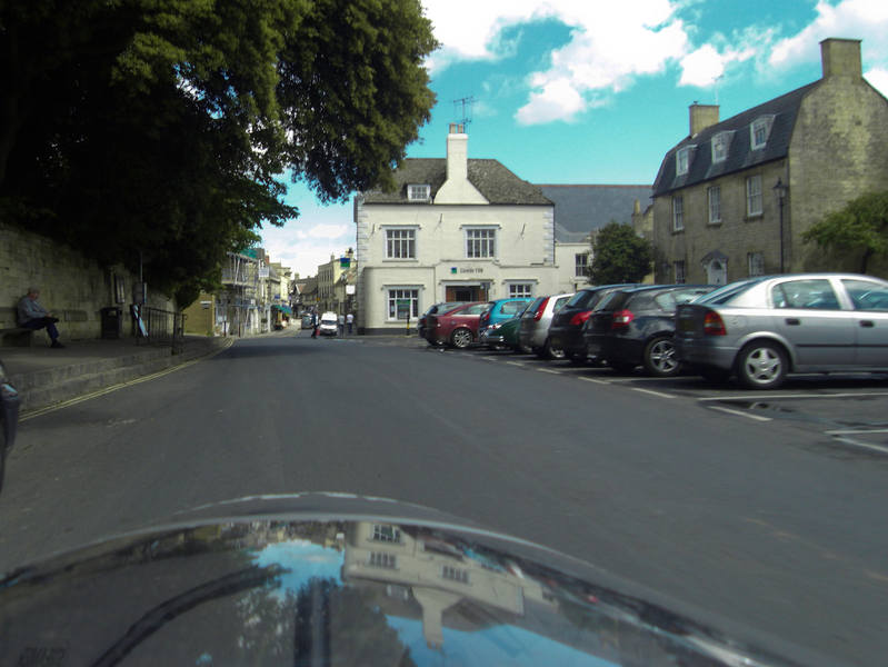
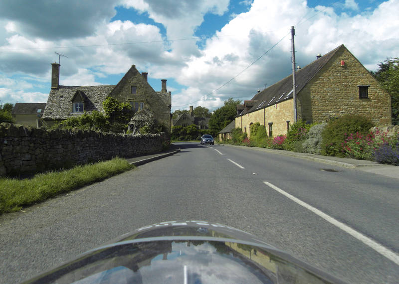
Ah well, the run down the other side was worth it. Almost. We then passed through a whole succession of pretty villages. |
|
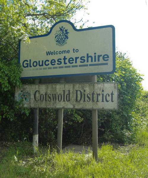
We ticked off another county, saying goodbye to Gloucestershire and hello to: |
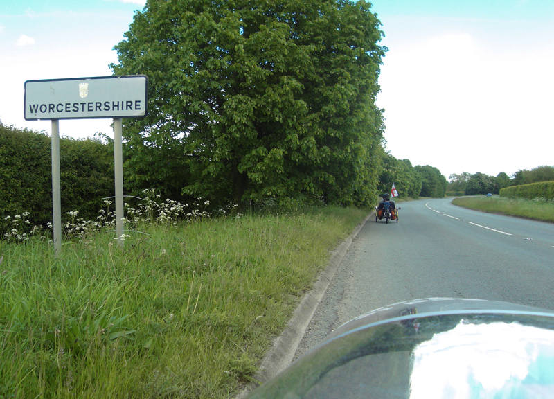
Though the goodbye turned out to be more of an au revoir. I have to say the county planners placed the boundaries very poorly in relation to our route. |
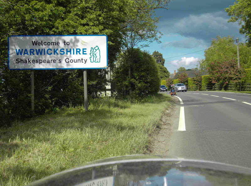
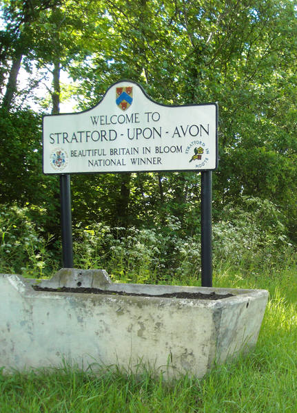
But then we finally saw it off, and entered a brand new county: |
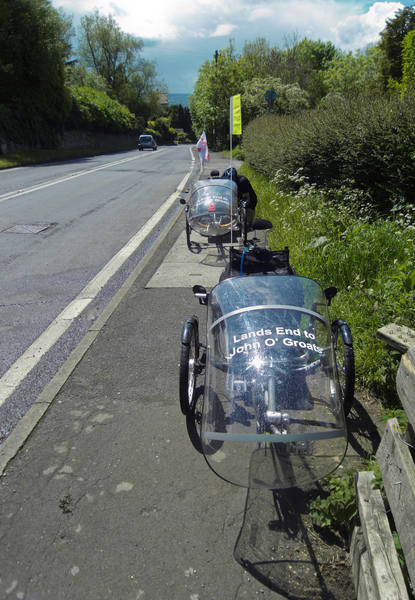
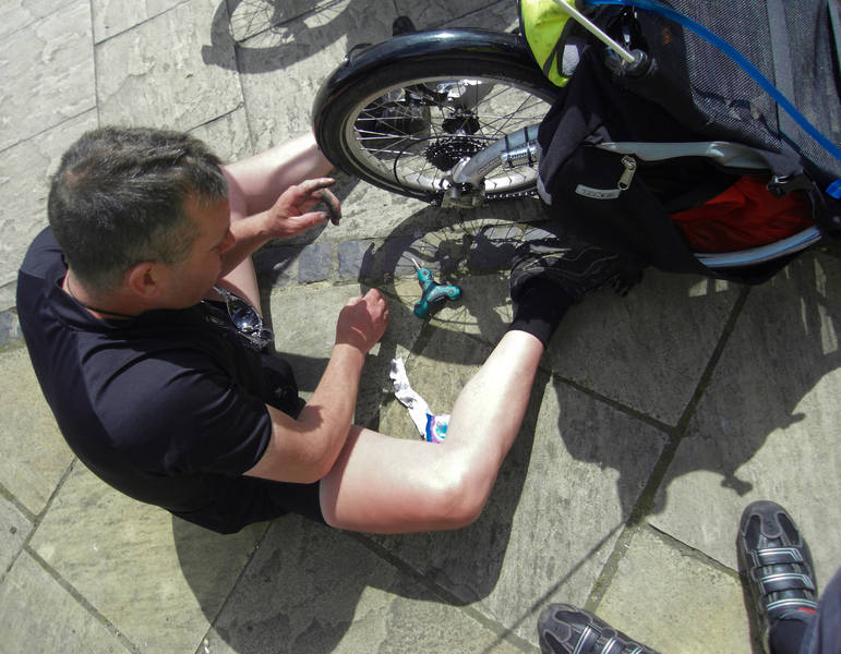
My rear gears were slipping. I'd had this happening for a week or two between 6th and 7th, and the bike mechanic's diagnosis was that the shifter needed replacement. I'd ordered a new one (upgrading from a Shimano to an SRAM while I was at it), but although it arrived before we left, it was too late to get it fitted. I had, though, brought it with me as part of my spares bag, so I called Erica who offered to meet up with us en-route. The plan was then to call into a bike shop in Stratford-upon-Avon to get it fitted. We thus found a nice pub in yet another picturesque village. |
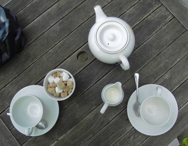
Cyclists do of course need plenty of tea. |
While waiting for it, I took a look at the rear derailleurs and found some remaining shreds of the strap that got caught in it a couple of days ago. Donald removed the bottom jockey wheel. |
Meanwhile, I consulted the paper map and tried the GPS to see how it did at navigating us to Stratford. Miraculously, it chose a sensible route. We were both feeling good, so decided to continue on to Warwick instead. The GPS didn't manage that so well, so I started it off with Stratford. |
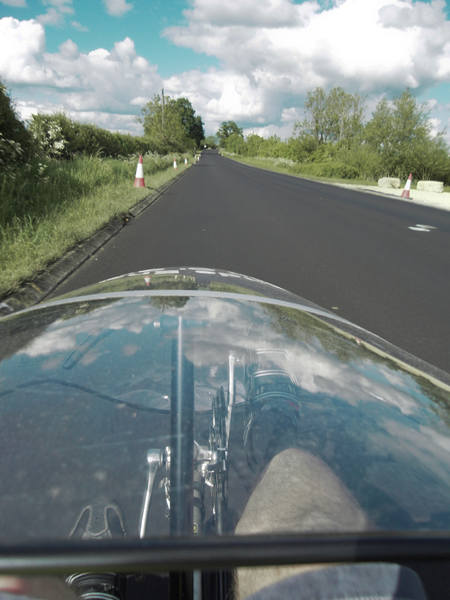
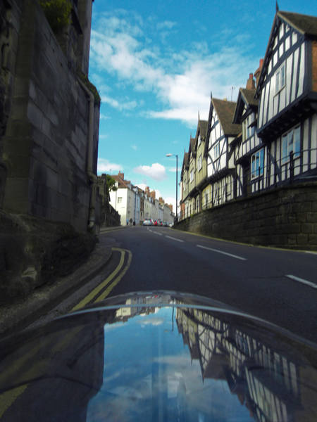
It was all B-roads to Stratford, and very nice they were too. |
I kept meaning to take this one - needs a smoother surface, really: |
Each morning, we made provisional bookings in two campsites: one at 50-ish miles, the other at 60-ish miles. The arrangement was that we'd call them at 4pm to confirm. By 4pm, we were 5 miles from the Stratford site and 15-ish from the Warwick one, so I pulled into what I thought was a layby to cancel Stratford and confirm Warwick. The layby turned out to be the entrance to some bizarre half-built industrial estate with this just inside: |
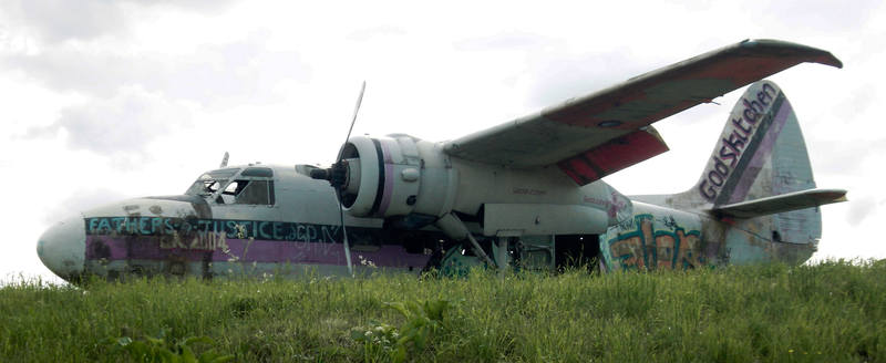
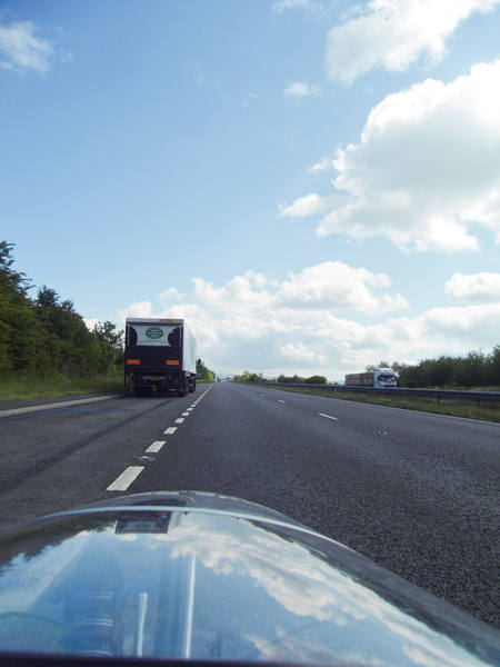
I wrote that I would rely on one of the aviation enthusiasts to email me to tell me what it is, and sure enough, Alan did: It is (or, in view of it's present condition, was!) actually an ex-Fleet Air Arm Percival Sea Prince, S/N WM735 and, I believe, briefly on the civil register as G-RACA. In all probability the place where you saw it was the site of the former Long Marston airfield. The colourful graffiti is the legacy of a music festival Ahead, there was a newly-surfaced stretch. It's absolutely astonishing what a difference a good road surface makes. I'm two gears higher on a smooth surface than on the typical vibrating rubbish that passes for a road surface in the UK. |
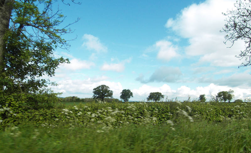
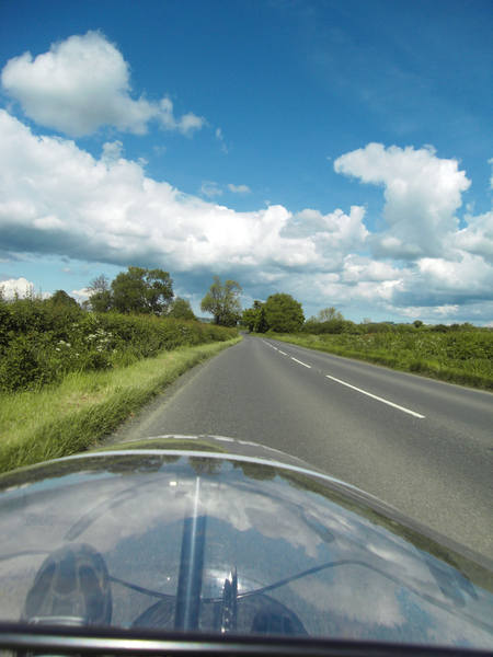
Gently rolling countryside was lovely. |
It's also amazing how riding can feel like a real struggle one day (as it had for me the previous day) and yet feel effortless the next. In what felt like no time at all, we were in Stratford. |
A picturesque spot for a banana stop: |
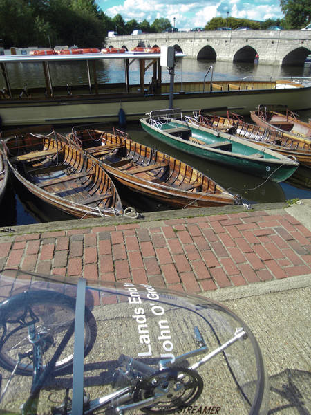
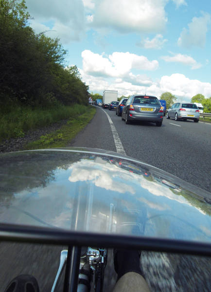
A couple of workmen there took an interest in the trikes and asked me where we'd come from. "Lands End," I replied. "No!" he said. (He was looking at them from behind, so couldn't see the graphics.) We were clearly now far enough from the start that this was no longer an everyday encounter. I texted Erica to confirm we'd make Warwick, and then we set off on the last 10 miles or so. We were getting into the rush-hour, so there was more traffic even on this quiet road. |
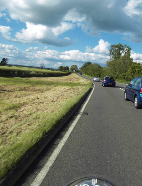
The Garmin was again trying to take us some stupid route, and continued insisting we make a U-turn until we were about 4 miles from Warwick. By the time we reached the outskirts, it was full-on rush-hour. The difference between a London cyclist and Plymouth one was readily apparent in our filtering speeds. :-) |
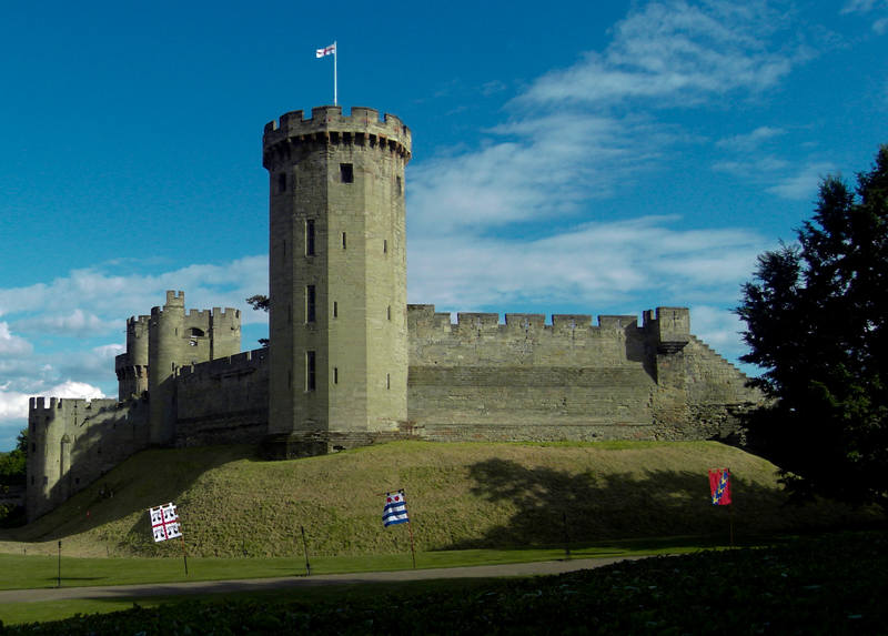
I still had sufficient energy when we were a couple of miles from the campsite to take an uphill detour to visit Warwick Castle. Things are arranged so that the castle is hidden behind tall hedges until you've paid the entrance fee, but I was beginning to learn the value of playing the LEJOG card. "I'm on a Lands End to John O'Groats cycle ride - could I just nip in quickly to take a photo?" The boss was consulted and he let me in. |
The campsite was, naturally, up one last hill. |
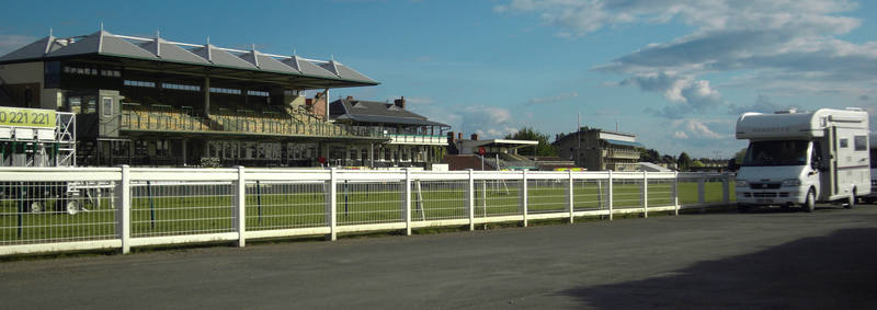
Or, rather, it wasn't. The campsite postcode took us to the local hospital. When I phoned for directions, I was told they were two miles back in the direction we'd just come. They gave me a different street name to the one on the ukcampsites.co.uk website (an otherwise highly recommended site), so we went there. It wasn't there either. I phoned again, and a different person answered the phone and gave me a different street. This one, finally, turned out to be correct. The irony was that we'd been ignoring all the race-course signs because the GPS was directing us elsewhere, and the campsite turned out to be right inside the course, by the start. |
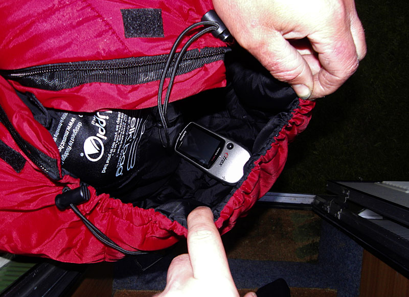
We got there about 15 minutes before Erica, and various people were bemused by us arriving on trikes at a motorhome-and-caravan only site, wondering whether we'd perhaps been towing a caravan. Donald's GPS turned up: inside the hood of his sleeping-bag! |
Donald cooked in his tent while Erica and I went to eat out. At 10pm, this proved more difficult than expected: most places stopped serving at 9-ish! We'd expected this from pubs, but not restaurants. Clearly we weren't in London any more. But we were fortunate enough to find a great Thai restaurant still serving, and the food was absolutely fantastic - accompanied by a Thai wine. I was good and only had two glasses. And so ended day six. We were approximately half a day ahead of schedule. |
|
![]()