![]()
DAY 2
|
|
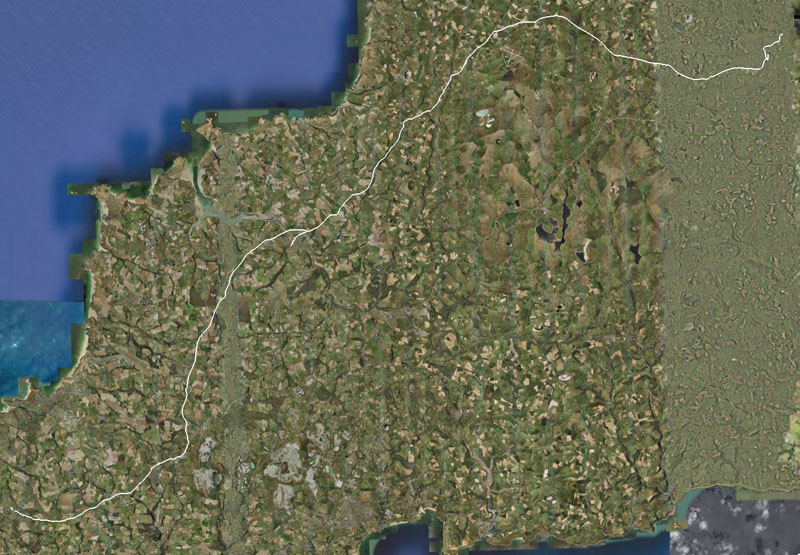
Google Earth view: |
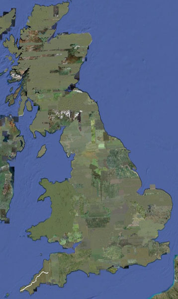
And the ride to date: |
|
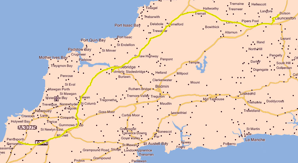
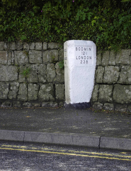
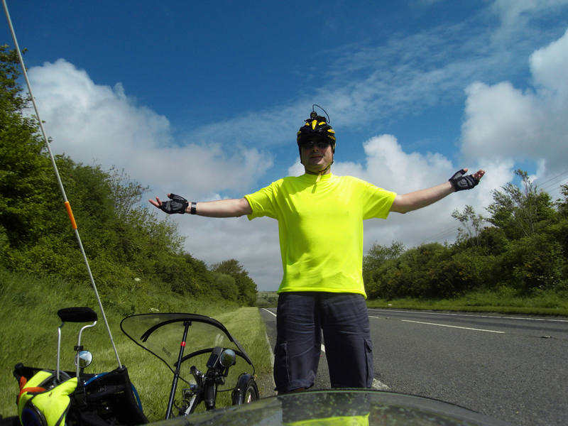
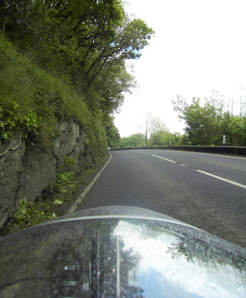
Our route today took a slight detour to avoid going across the rather exposed Bodmin Moor because there are long stretches with no shelter or facilities. This was a good decision given the weather. |
|
We decided to wait it out a while, at least until it at least eased off a bit. In the meantime, breakfast! |
|
Space is at rather a premium in the motorhome. The grill is used as a cupboard, and a toaster is a single-function device, so we bought a sandwich maker in Sainsbury's on the basis that it would serve as a griddle as well as a toaster. It cost six quid! This turned out to be an excellent device. It wasn't hot enough to get the bread beyond a crisp light brown, no matter how long you left it there. I put six slices of bagette under it and was able to just pull out a hot slice whenever I was ready. The rain at least paused, so we set off at a civilised 11:30am. |
|
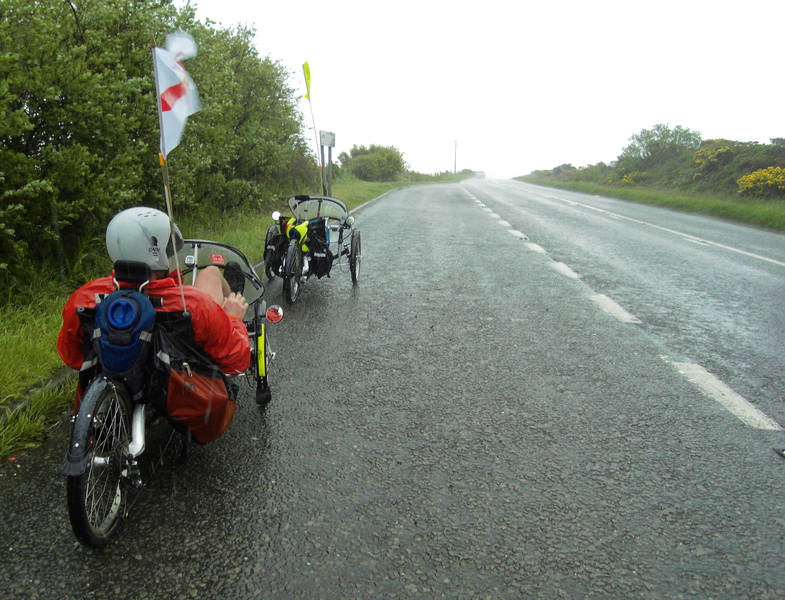
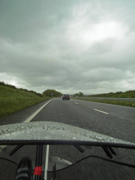
The weather was mostly ranging from mild drizzle to solid rain. |
|
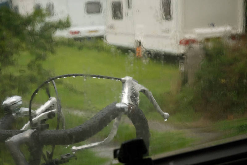
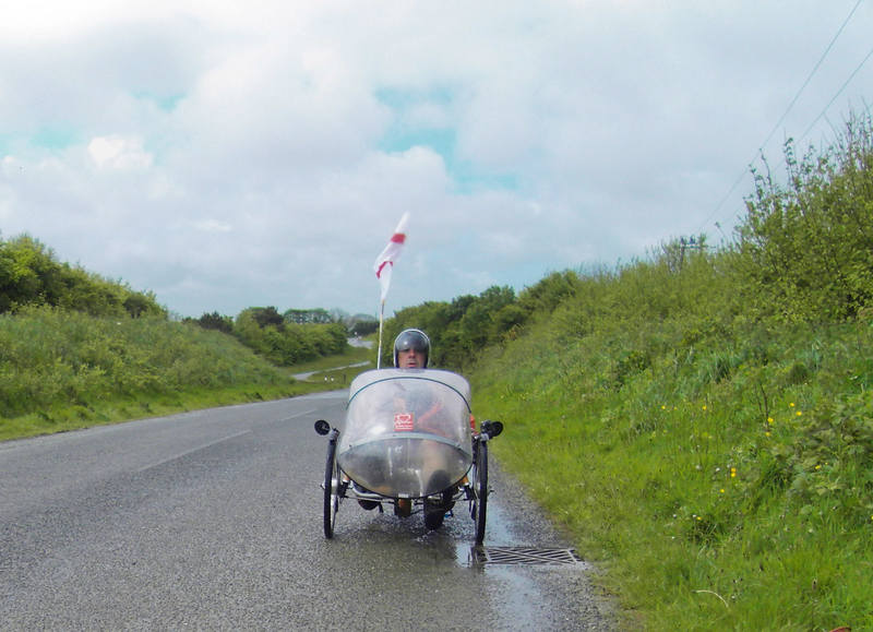
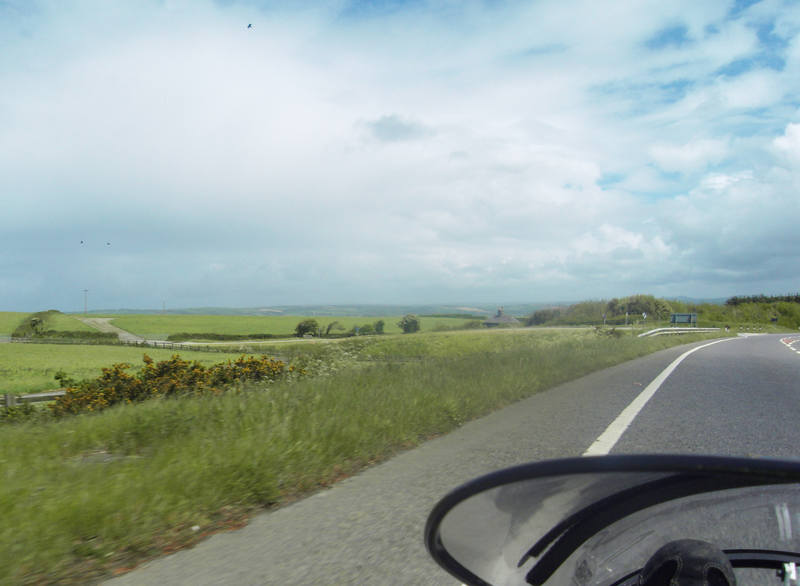
In anything but heavy rain, the fairing is sufficient protection for my legs, so I wear a jacket but not trousers. After a few miles, the rain stopped and the sky turned blue. I decided to stop at the layby at the top of the hill and take off my jacket. Literally as I stepped off the trike to do so, the heavens opened. Instead of taking off my jacket, I put on my waterproof trousers. Within seconds, the formerly blue skies looked like this: |
|
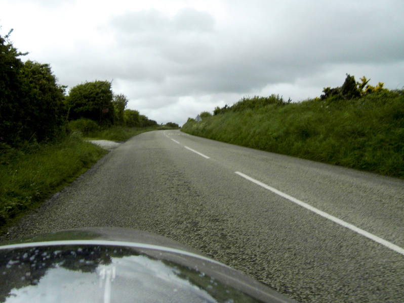
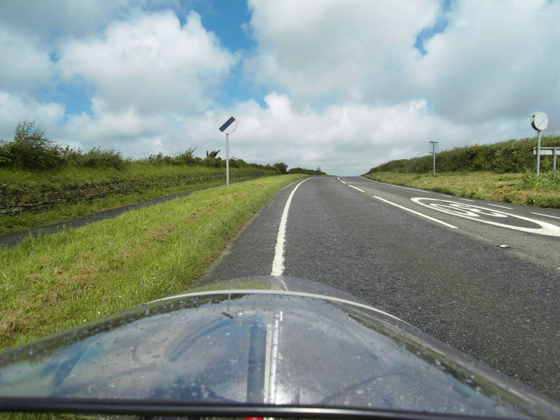
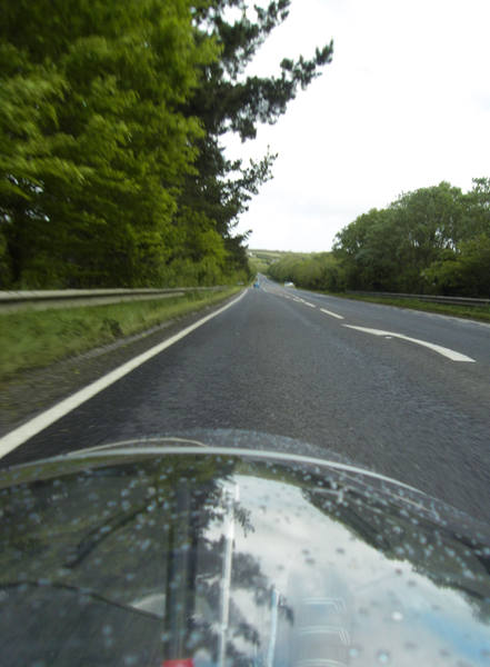
We'd opted for a couple of stretches of A30. Again, with the Dinotte flashing away, this was absolutely fine. |
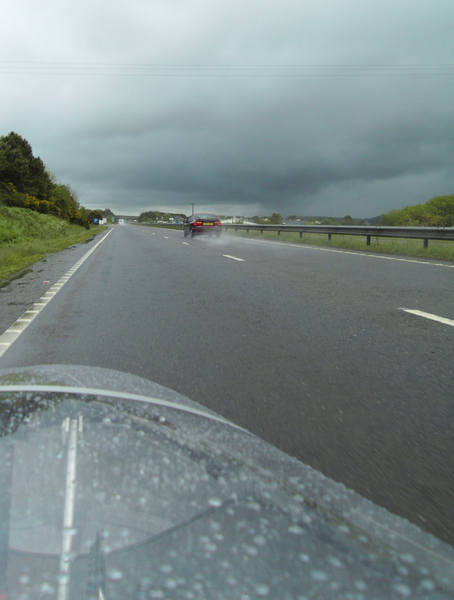
|
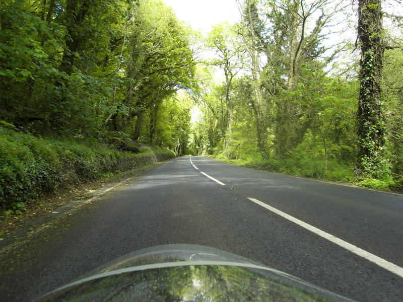
We then peeled off onto some deliciously quiet backroads that paralleled the A30. |
|
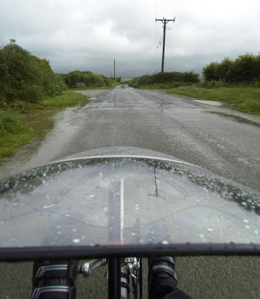
Things got increasingly wet and - later - muddy. I didn't even dare take the camera out of my pocket on the muddy stretches. My jacket and pod bags got distinctly grubby - but the hard rain later pretty much jetwashed them. |
|
I wondered how low I could get in the seat down the hills for maximum speed. |
|
Hmmm. That's quite far, and it's only where we started. |
|
NSL, and time to let 'em rip: |
|
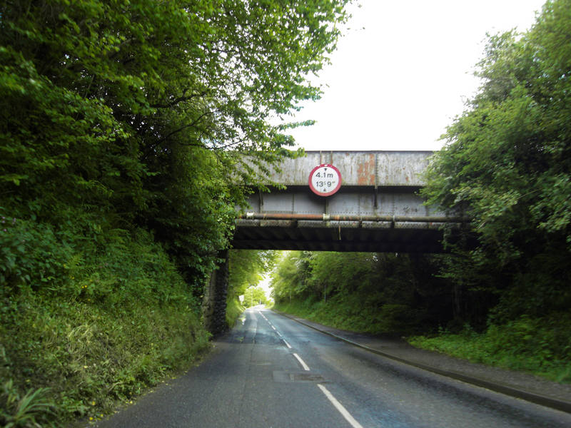
We reached a good 8.5mph up there. We were ok under here on the trikes: |
|
Blue skies: |
Ok, sun out, waterproofs off, what could possibly go wrong? |
Ok, things are getting greyer, but there can't be any rain left in those clouds. |
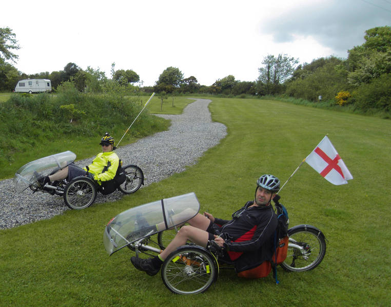
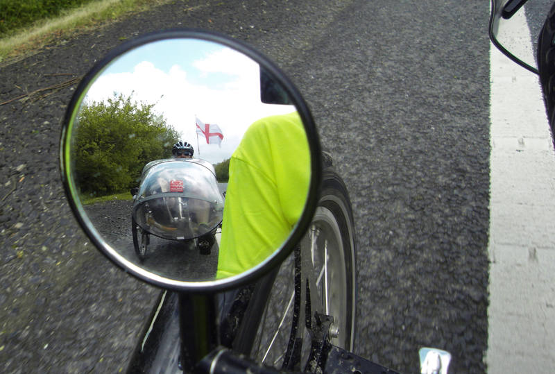
I was hoping Donald was going to remove that flag when (if!) we reached Scotland: |
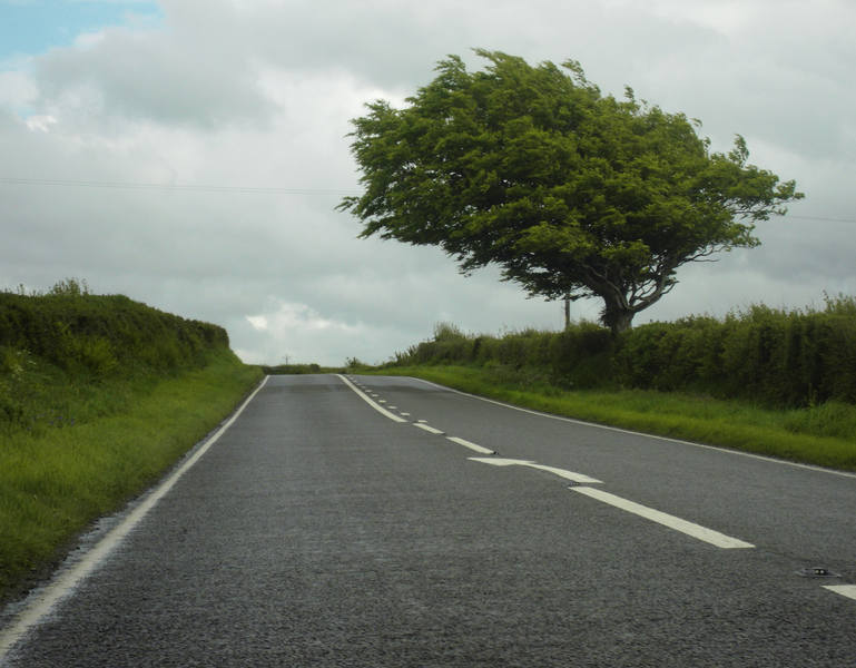
I wasn't finding the rolling hills too bad. |
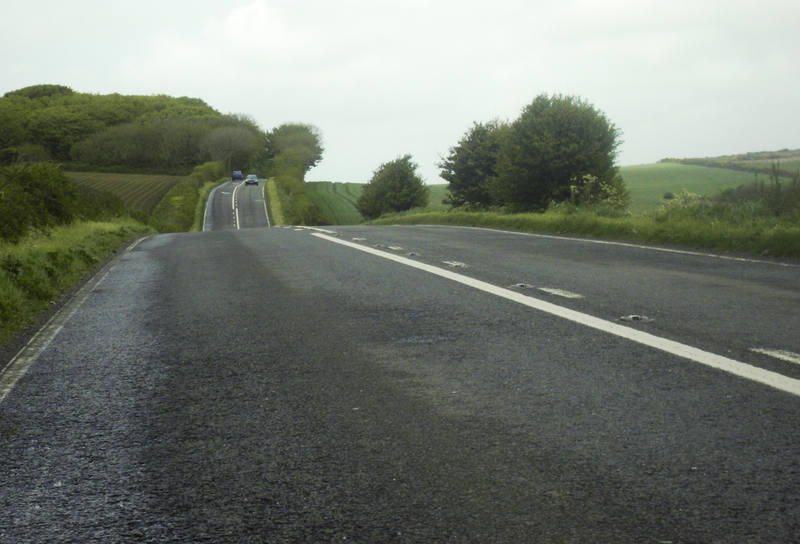
The moors did look a little never-ending at times, but were were at least back to blue-ish skies. |
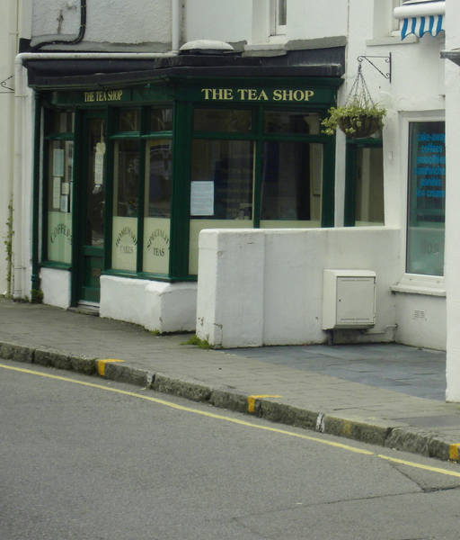
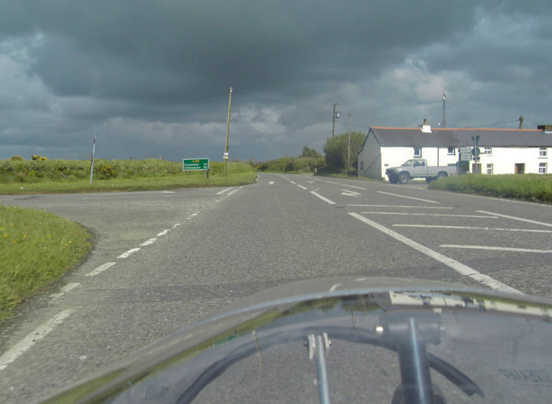
We'd planned a cake stop at Wadebridge, but then I spotted the bypass - it looked like a very long, steep downhill, and a potential speed record candidate. Didn't beat my 54mph record, but hit 48mph - the fastest speed of the trip so far. One car was planning to overtake me while I was still doing 35-ish, but dropped back when I reached 40 and was still accelerating. We climbed the other side and I consulted my GPS and asked it to tell me whether there was any food ahead. Sadly not: we'd have to go down the hill into Wadebridge. It offered a likely-sounding place called The Tea Shop, just one mile away. . I realised I was gaining confidence with hills when the idea of cycling a mile down a pretty steep hill, knowing we'd have to cycle back up afterwards, didn't faze me. The tea shop was indeed exactly where Mr Garmin said it was. It was also - on a Sunday afternoon - closed! |
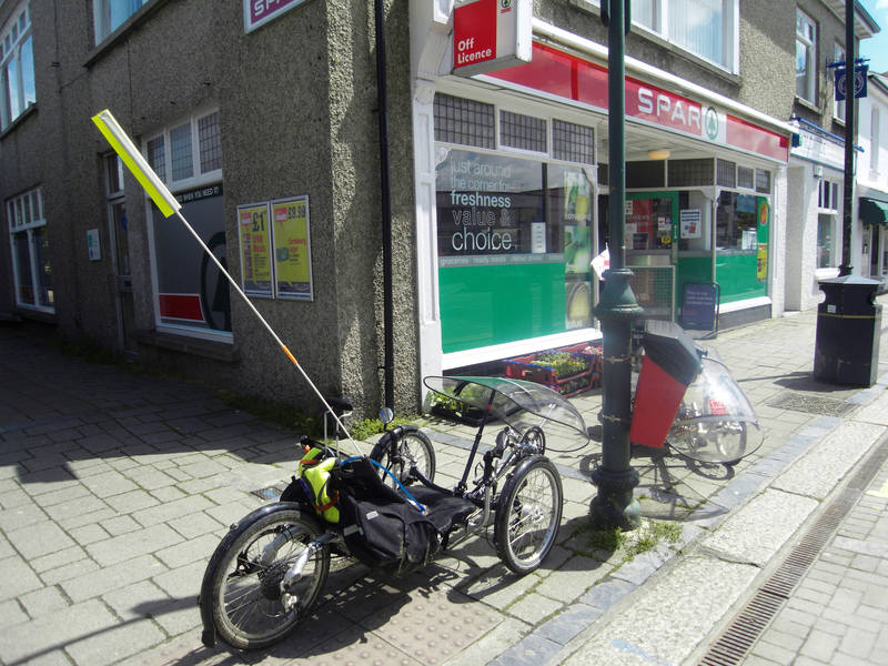
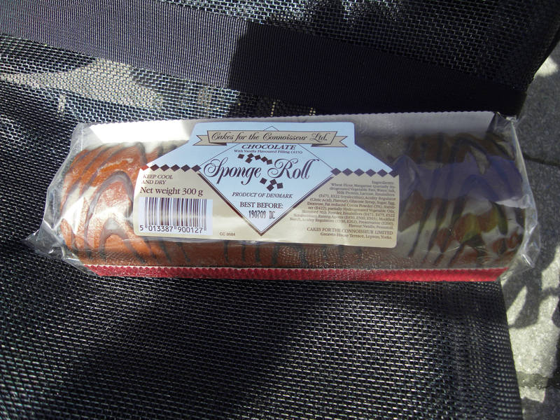
I asked a local where else we might get tea and cake. "Nowhere," she said. "Not until the summer." We thought we might be reduced to a Spar: |
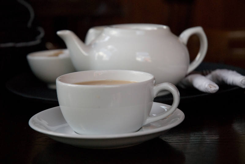
I was about to tuck into this when a charming gentleman wandered over and asked where we were going. |
I told him, and he proceeded to regale me with a lovely tale of a pair or riders doing the same thing on a tandem and arriving after everything was closed. He took pity on them, and took them home and made them a pasta dinner. It was a cheering story, and I would have enjoyed chatting with him, but was rather desperate for calories at that point! I'd spotted a pub across the road and figured it might do puddings if not cake. It was equipped with a guard dog for the trikes, here shown keeping a watchful eye out: |
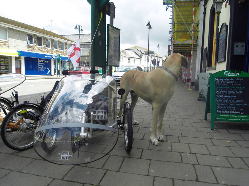
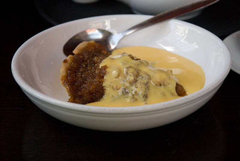
(I'd thought it might make a fun photo, so asked the owner if I could take a photo of his Great Dane with the trikes, thinking he'd come out with me. Instead, he said 'Sure' and handed me the lead!) The pub did indeed sell cyclist fuel: |
The day's ride was supposed to be 48 miles in total, and we were 24 miles in. Allowing for the 2-mile pudding-stop detour, that should have left us with 26 miles to go. Donald's GPS was, however, showing 39 miles to go. This was somewhat worrying. As the first few days had been revised routes, I didn't have them on my GPS. As we knew where we were headed for, we ignored the GPS and followed road signs. Thataway. |
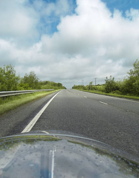
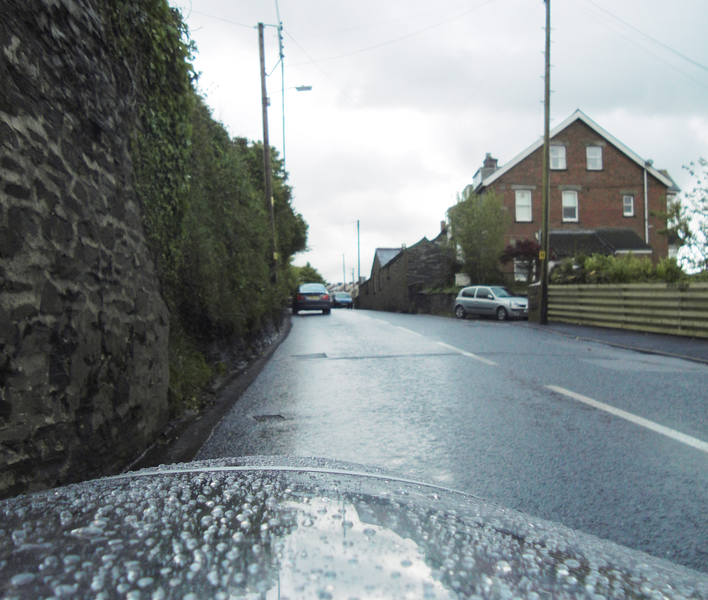
The roads were lovely. |
The cake-stop was at 7 feet above sea-level. This was at 1000 feet above sea-level: |
We weren't quite lucky enough to have a constant tailwind today, but mostly had a crosswind veering towards a tailwind. The fairings do seem to do well in crosswinds. |
Erica was having trouble finding a campsite. The one we were heading for appeared not to exist. She suggested we head on in to Launceston and await further news. As we were just three miles away, we opted for the direct route: back onto the A30. As we turned down the sliproad, the rain came hammering down bigtime. On with the full waterproofs. |
That three miles was miserable - the first non-enjoyable stretch of the journey so far. The rain was really hammering, was cold and we could barely see where we were going. But it was just one junction. I called Erica again at the exit. No campsite news as yet, so she suggested we head for a cafe while she investigated options. I replied that she appeared to have mispelled 'pub'. |
Erica finally managed to book us into a farm campsite 1.5 miles away. The first 3/4-mile was downhill, and the second was, naturally, not. |
I was a little vague on directions, and wasn't keen on descending yet another hill only to find we'd missed the turning and had to come back up, so paused at this point to call Erica for final directions. |

The campsite was, well, a field: |
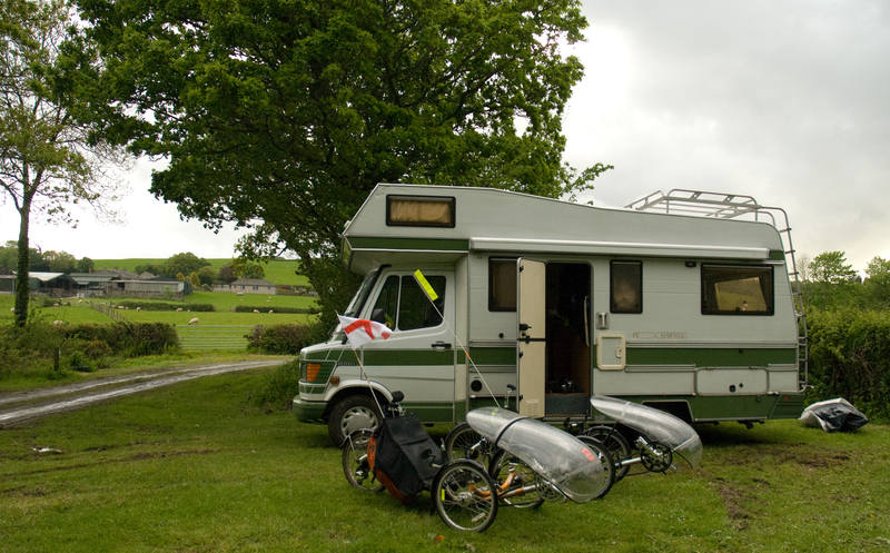
But a rather lovely spot, and - amazingly - had a power hookup. I was, in any case, pleased to see it: |
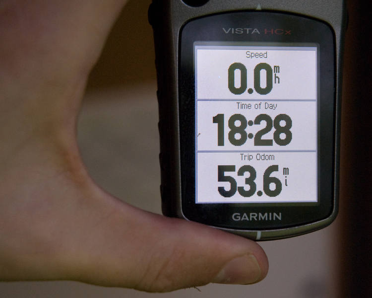
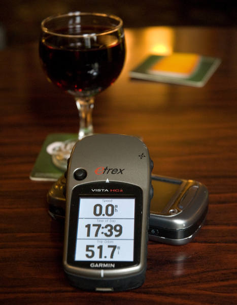
Not so much because of the distance, but more because of this: |
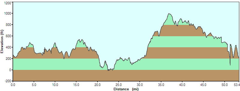
The scale today was 1000 feet, and our total was 5,449 feet of elevation. Our moving average wasn't bad considering the terrain: |
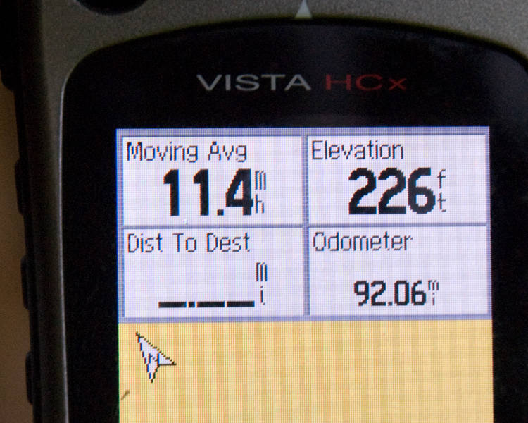
And it brought our two-day total to 92 miles, or around 9% of the total distance. |
![]()